Titusville in Hopewell Township in Mercer County, New Jersey — The American Northeast (Mid-Atlantic)
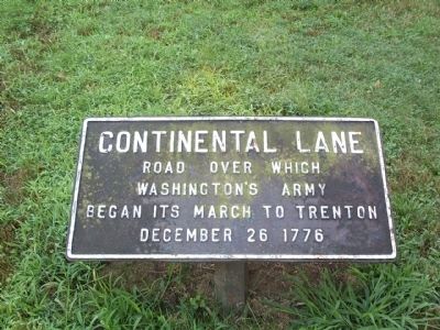
Continental Lane
Topics. This historical marker is listed in these topic lists: Notable Events • Roads & Vehicles • War, US Revolutionary. A significant historical date for this entry is December 26, 1861.
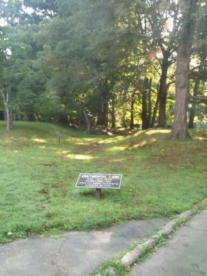
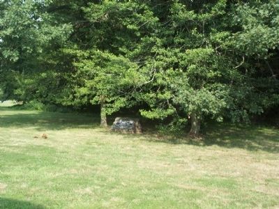
Location. 40° 17.981′ N, 74° 52.068′ W. Marker is in Hopewell Township, New Jersey, in Mercer County. It is in Titusville. Marker can be reached from Brickyard Road. There are two of these markers, both in Washington Crossing State Park. One is near the parking area for the Johnson Ferry House the other is at the intersection of Washington Crossing-Pennington Road and Trenton-Harbourton Road. Touch for map. Marker is at or near this postal address: 1366 Brickyard Rd, Titusville NJ 08560, United States of America. Touch for directions.
Other nearby markers. At least 8 other markers are within walking distance of this marker. Johnson Ferry House (a few steps from this marker); Prelude to Victory (within shouting distance of this marker); Dedicated in Memory of John Honeyman (about 300 feet away, measured in a direct line); Spring House (about 300 feet away); Site of Crossing (about 400 feet away); Retreat and Counterattack – 1776 (about 600 feet away); Ferry Site (approx. 0.2 miles away); Washington Crossing (approx. 0.2 miles away). Touch for a list and map of all markers in Hopewell Township.
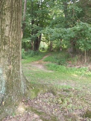
More about this marker . These two markers are at the beginning and end of a nature trail through the park that follows the route of the old Continental Lane.
Related marker. Click here for another marker that is related to this marker. To better understand the relationship, study each marker in the order shown.
Credits. This page was last revised on February 7, 2023. It was originally submitted on August 17, 2008, by Gary Nigh of Trenton, New Jersey. This page has been viewed 1,179 times since then and 36 times this year. Photos: 1, 2, 3, 4. submitted on August 17, 2008, by Gary Nigh of Trenton, New Jersey. • Kevin W. was the editor who published this page.


