Inner Harbor in Baltimore, Maryland — The American Northeast (Mid-Atlantic)
Baltimore Riot Trail
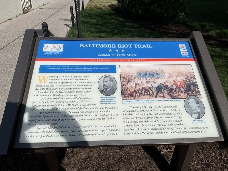
Combat on Pratt Street
— Baltimore – A House Divided —
On April 19, 1861, Confederate sympathizer attacked the 6th Massachusetts Infantry Regiment as it changed trains en route to Washington, which the secessionists hoped to isolate. To learn more about the Baltimore Riot, the city's role in the Civil War, and railroad history, please visit the Baltimore Civil War Museum - President Street Station, at the corner of President and Fleet Streets. PresidentStreetStation.org
When Capt. Albert S. Follansbee's four companies of the 6th Massachusetts Infantry Regiment passed here en route to Camden Station to change trains for Washington on April 19, 1861, a pro-Confederate mob attacked with rocks and bullets. As George Wilson Booth, a state militiaman who joined the rioters, later wrote,
A soldier, struck by a stone, fell almost at my feet, and as he fell, dropped his musket, which was immediately seized by Edward W. Beatty a port customs officer, who raised it to his shoulder and fired the first shot into the column.
As he fired he turned to the crowd and asked if anyone had a cartridge. I gave him one or two and showed him how to reload then betook myself to the protection of the first doorway thus escaping the bullets that were sweeping the street.
The rear riles faced about and delivered a volley into the crowd, who responded with pistol shots, stones, clubs, and other missiles. A perfect fusilade for the next few blocks was kept up between the troops and the outraged mob.
The volley killed 20-year-old William Clark, of Company C, 15th South Carolina Heavy Artillery Battalion, making him the first Confederate casualty of the war. Francis Xavier Ward was wounded as he tried to seize the regimental flag from Sgt. Timothy Crowly. Later, James Ryder Randall, a Marylander teaching in Louisiana expressed his sympathies in the secessionist poem, Maryland, My Maryland," which was the official state song until 2021.
Erected by Maryland Civil War Trails.
Topics and series. This historical marker is listed in these topic lists: Arts, Letters, Music • War, US Civil. In addition, it is included in the Maryland Civil War Trails series list. A significant historical date for this entry is April 19, 1861.
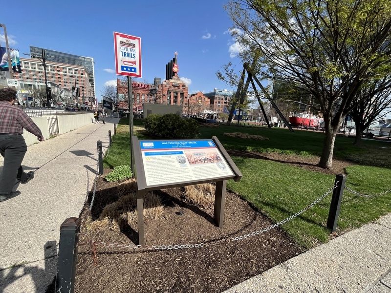
Location. 39° 17.189′ N, 76° 36.558′ W. Marker is in Baltimore, Maryland. It is in the Inner Harbor. Marker is on East Pratt Street east of Commerce Street, on the right when traveling east. Touch for map. Marker is at or near this postal address: 405 E Pratt St, Baltimore MD 21202, United States of America. Touch for directions.
Other nearby markers. At least 8 other markers are within walking distance of this marker. "Yuai" (within shouting distance of this marker); Together we remember the people of Maryland who perished on 9.11.2001
Related marker. Click here for another marker that is related to this marker. This marker has replaced the linked marker.
Credits. This page was last revised on April 3, 2023. It was originally submitted on April 3, 2023, by Devry Becker Jones of Washington, District of Columbia. This page has been viewed 103 times since then and 26 times this year. Photos: 1, 2. submitted on April 3, 2023, by Devry Becker Jones of Washington, District of Columbia.

