Fort Davis in Jeff Davis County, Texas — The American South (West South Central)
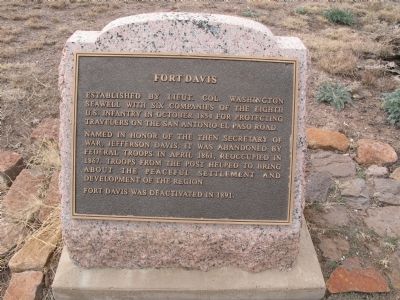
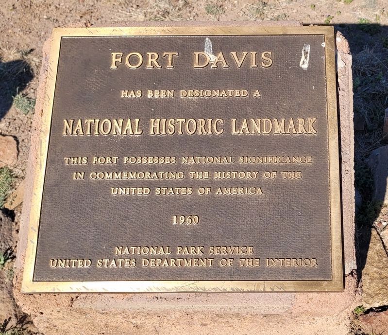
Fort Davis
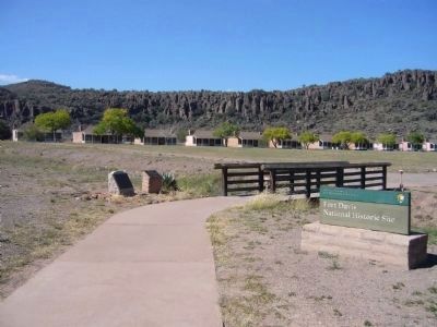
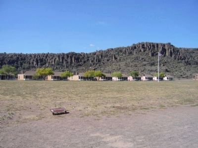
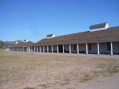
Named in honor of the then Secretary of War, Jefferson Davis, it was abandoned by federal troops in April 1861, reoccupied in 1867. Troops from the post helped to bring about the peaceful settlement and development of the region.
Fort Davis was deactivated in 1891.
Erected 1936 by State of Texas. (Marker Number 10478.)
Topics and series. This historical marker is listed in these topic lists: Forts and Castles • Roads & Vehicles • Settlements & Settlers • Wars, US Indian. In addition, it is included in the Antonio de Espejo Entrada of 1582-1583, the San Antonio-El Paso Road, and the Texas 1936 Centennial Markers and Monuments series lists. A significant historical month for this entry is October 1854.
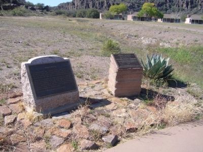
Location. 30° 35.817′ N, 103° 53.516′ W. Marker is in Fort Davis, Texas, in Jeff Davis County. Marker can be reached from Lt. Henry Flipper Drive. Marker is located near the parking lot of the Fort Davis National Historic Site. Touch for map. Marker is in this post office area: Fort Davis TX 79734, United States of America. Touch for directions.
Other nearby markers. At least 8 other markers are within walking distance of this marker. Food & Shelter (within shouting distance of this marker); First Contact (within shouting distance of this marker); Legend - Fort Davis (about 400 feet away, measured in a direct line); The First Fort Davis (about 500 feet away); Sick Call (about 600 feet away); a different marker also named Fort Davis (about 700 feet away); a different marker also named Fort Davis (about 700 feet away); Commanding Officer's Quarters (about 700 feet away). Touch for a list and map of all markers in Fort Davis.
Also see . . .
1. Fort Davis, National Park Service website. (Submitted on January 15, 2010, by Richard Denney of Austin, Texas.)
2. San Antonio - El Paso Road, Wikipedia article. (Submitted on January 15, 2010, by Richard Denney of Austin, Texas.)
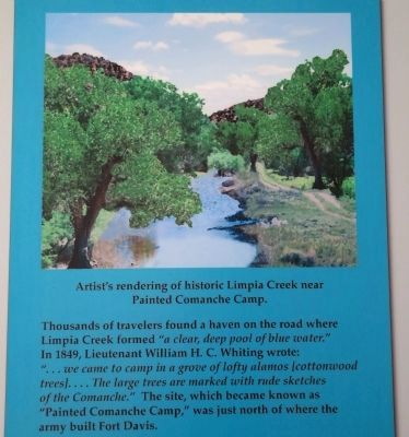
3. Painted Comanche Camp, Texas Beyond History webpage. U.S. Army engineers who passed through here in 1849 named their resting place (just north of what would become Fort Davis) "Painted Comanche Camp," so named because of pictographs that adorned nearby cottonwood trees. (Submitted on September 24, 2012, by Richard Denney of Austin, Texas.)
4. Antonio de Espejo, link to article on Texas Escapes website
. Antonio de Espejo was a Spanish explorer who led an expedition into New Mexico, Arizona and Texas in 1582-1583. Guided by Jumano Indians he was the first Spanish explorer to visit the site that would later become Fort Davis, traveling on a trail through the Davis Mountains that would become part of the San Antonio - El Paso road. (Submitted on October 1, 2012, by Richard Denney of Austin, Texas.)
5. Fort Davis - The Handbook of Texas Online. Texas State Historical Association (TSHA) (Submitted on October 11, 2019, by Brian Anderson of Humble, Texas.)
Additional commentary.
1. 1936 Centennial Highway Marker
This is a 1936 Centennial highway marker. The pink granite base is part of the original marker, but the original bronze inscription tablet was replaced by the existing tablet.
— Submitted August 20, 2017, by Duane Hall of Abilene, Texas.
Photographed By Richard Denney, December 22, 2009
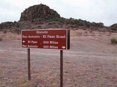
3. Historic San Antonio - El Paso road ran through Fort Davis
If you are interested in an aerial view of the remnants of this road as it passed through the fort, this sign is located at lat/long: 30.596067,-103.890828
The road remnants are visible running roughly north-south through the fort (the sign is north-south oriented). Going north the road would eventually have veered east to Fort Stockton en route to San Antonio, TX; Or going south it would eventually veer west on to El Paso, TX.
Photographed By Richard Denney, September 12, 2012
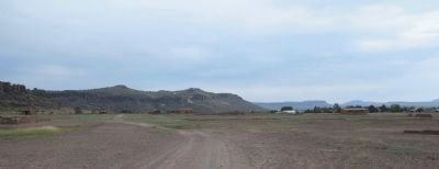
5. San Antonio - El Paso Road and Painted Comanche Camp in distance
View of the San Antonio - El Paso Road leading north out of the Ft. Davis State Park. Cottonwood trees in distance at base of mountain mark general local of Painted Comanche Camp on Limpia Creek. The road just outside the park reflects this history and is named "Painted Trees Road".
Credits. This page was last revised on April 8, 2023. It was originally submitted on January 11, 2010, by Richard Denney of Austin, Texas. This page has been viewed 1,451 times since then and 47 times this year. Photos: 1, 2, 3. submitted on January 15, 2010, by Richard Denney of Austin, Texas. 4, 5. submitted on September 24, 2012, by Richard Denney of Austin, Texas. 6. submitted on April 8, 2023, by James Hulse of Medina, Texas. 7, 8, 9, 10. submitted on November 19, 2012, by Bill Kirchner of Tucson, Arizona. • Bill Pfingsten was the editor who published this page.
