3 entries match your criteria.
Related Historical Markers
To better understand the relationship, study each marker in the order shown.
By Kevin White, August 30, 2007
Colonial Road Marker
SHOWN IN SOURCE-SPECIFIED ORDER
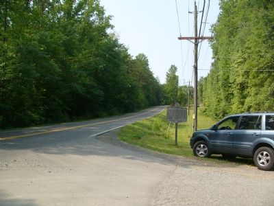
| | The road bed here follows the south branch of the Dumfries Road, in use before 1740, which crossed Cedar Run at Tacquet’s Ford. This route connected the Port of Dumfries with Red Store, now known as Warrenton, and interior settlements beyond. Dower . . . — — Map (db m2260) HM |
| | The town of Haymarket, chartered in 1799, owes its location to the junction of the Old Carolina Road and the north branch of the Dumfries Road at the site of the Red House. The Carolina Road developed from the Iroquois hunting path which was . . . — — Map (db m766) HM |
| | This crossroad is the ancient Dumfries-Winchester highway. Over it William Fairfax accompanied George Washington, then a lad of sixteen, on his first visit to Lord Fairfax at Greenway Court. It was on this occasion that Washington assisted in . . . — — Map (db m785) HM |
Apr. 23, 2024