Old Town in Alexandria, Virginia — The American South (Mid-Atlantic)
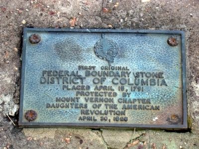
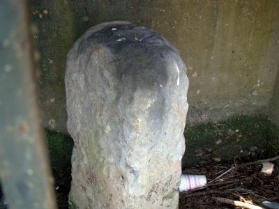
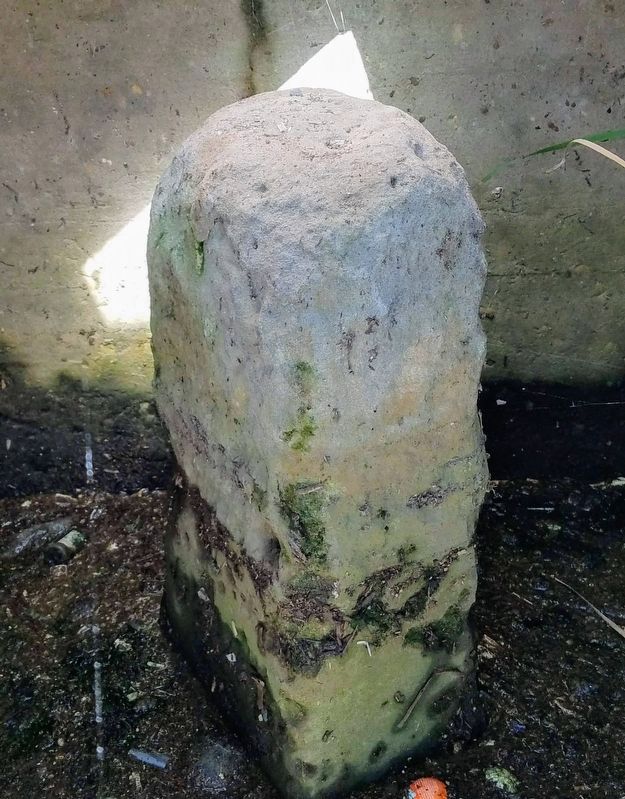
Original Federal Boundary Stone, District of Columbia, South Cornerstone
District of Columbia
Federal Boundary Stone
District of Columbia
Placed April 15, 1791
Protected by
Mount Vernon Chapter
Daughters of the American
Revolution
April 30, 1926
Erected 1926 by Daughters of the American Revolution.
Topics and series. This historical marker is listed in this topic list: Political Subdivisions. In addition, it is included in the Daughters of the American Revolution, and the Original Federal Boundary Stones series lists. A significant historical year for this entry is 1791.
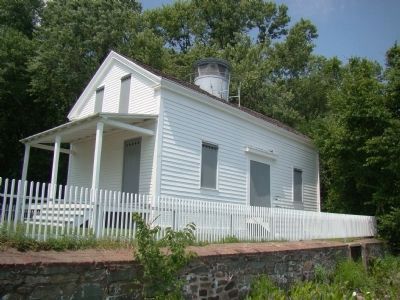
Location. Marker has been reported permanently removed. It was located near 38° 47.421′ N, 77° 2.436′ W. Marker was in Alexandria, Virginia. It was in Old Town. Marker could be reached from South Street near South Washington Street (Virginia Route 400). It is in Jones Point Park, at the lighthouse. Touch for map. Marker was in this post office area: Alexandria VA 22314, United States of America.
We have been informed that this sign or monument is no longer there and will not be replaced. This page is an archival view of what was.
Other nearby markers. At least 8 other markers are within walking distance of this location. D.C.'s First Building Block (here, next to this marker); The Nation's Capital Begins Here 1791-1793 (here, next to this marker); Who Owns the River? (a few steps from this marker); Mistress Margaret Brent (within shouting distance of this marker); The Remarkable Margaret Brent (within shouting distance of this marker); The Jones Point Lighthouse (within shouting distance of this marker); The Long Story of The Jones Point Ropewalk (about 400 feet away, measured in a direct line); Mountains of Materials and Massive Manpower (about 700 feet away). Touch for a list and map of all markers in Alexandria.
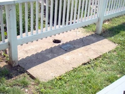
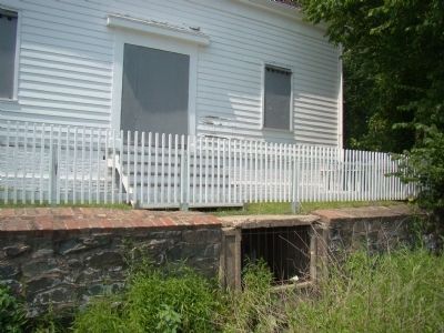
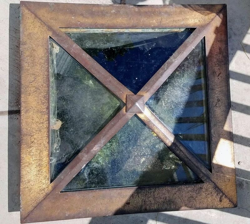
More about this marker. Marker is on the Jones Point Lighthouse brick and concrete seawall, set into a concrete slab with a hole in it, for seeing the boundary stone.
This marker was permanently removed after the South Cornerstone concrete enclosure was renovated with reinforced concrete seawall and new walkway and pyramidal glass and brass viewing window directly above the stone in 2011-2012.
The original maker was supplanted by two-new markers "DC's First Building Block," & "A Nation's Capital Begins Here," already documented in HMDB.
The original marker is in the possession of NPS. This applies to the metal plaque.
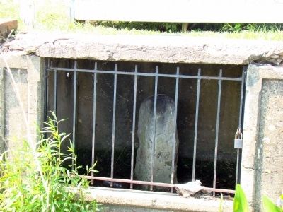
Regarding Original Federal Boundary Stone, District of Columbia, South Cornerstone. The Washington, D.C. South Boundary Stone is in a niche in the seawall at the Jones Point Light. The niche has a locked iron bar door. The best view is standing on the riprap in front of the seawall, but be especially careful if the riprap is wet, as it becomes quite slippery.
This monument was laid by George Washington himself, in full Masonic regalia.
Related markers. Click here for a list of markers that are related to this marker. The other 3 corner boundary stones.
Also see . . . Boundary Stones of Washington, D.C. — South. “As documented by Woodward and others, the stone was hidden behind this seawall until June 1912. Because the stone remains in an enclosure in the wall, it still is not possible to view it in its entirety.” (Submitted on June 21, 2008, by J. J. Prats of Powell, Ohio.)
Credits. This page was last revised on January 28, 2023. It was originally submitted on June 21, 2008, by J. J. Prats of Powell, Ohio. This page has been viewed 3,158 times since then and 37 times this year. Last updated on August 15, 2020, by Roberto Bernate of Arlington, Virginia. Photos: 1, 2, 3, 4, 5, 6. submitted on June 21, 2008, by J. J. Prats of Powell, Ohio. 7, 8. submitted on October 14, 2019, by Roberto Bernate of Arlington, Virginia. • Devry Becker Jones was the editor who published this page.
