3 entries match your criteria.
Related Historical Markers
The Battle of Mobile Bay.
By Timothy Carr, June 19, 2013
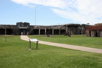
This Marker along with a group of markers located on the top right side of Battery Duportail
SHOWN IN SOURCE-SPECIFIED ORDER
| | Eager to attack Mobile Bay since 1862, U. S. Admiral David Farragut knew he could not capture control of the lower bay without the support of the army and without a flotilla of ironclad monitors to confront the Confederate ironclad CSS . . . — — Map (db m68815) HM |
| | As the Hartford and Brooklyn steamed into the lower bay, the Tennessee tried to ram both in succession but was too slow and had to let them pass. Admiral Buchanan then exchanged broadsides with the rest of Admiral Farragut’s . . . — — Map (db m69617) HM |
| |
At 7:25 a.m., August 5, 1864, Admiral Farragut’s lead monitor Tecumseh steered into the torpedo field at the mouth of Mobile Bay. The admiral had ordered Commander Tunis Craven, the Tecumseh’s captain, to engage the ram . . . — — Map (db m69412) HM |
Apr. 25, 2024