Hopkinsville in Christian County, Kentucky — The American South (East South Central)
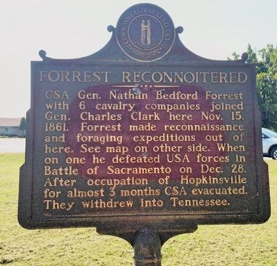
Forrest Reconnoitered
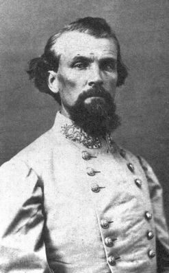
CSA Gen. Nathan Bedford Forrest with 6 cavalry companies joined Gen. Charles Clark here Nov. 15, 1861. Forrest made reconnaissance and foraging expeditions out of here. See map on other side. When on one he defeated USA forces in Battle of Sacramento on Dec. 28. After occupation of Hopkinsville for almost 3 months CSA evacuated. They withdrew into Tennessee.
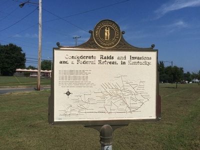
Reverse side map of: Confederate Raids and Invasions and a Federal Retreat, in Kentucky.
Erected 1963 by the Kentucky Historical Society Kentucky Department of Highways. (Marker Number 618.)
Topics and series. This historical marker is listed in this topic list: War, US Civil. In addition, it is included in the Kentucky Historical Society series list. A significant historical date for this entry is November 15, 1861.
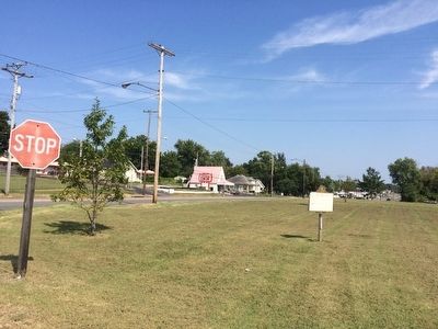
Location. 36° 53.078′ N, 87° 28.892′ W. Marker is in Hopkinsville, Kentucky, in Christian County. Marker is at the intersection of North Main Street (U.S. 41) and Quarry Road, on the right when traveling north on North Main Street. Touch for map. Marker is at or near this postal address: North Main Street, Hopkinsville KY 42240, United States of America. Touch for directions.
Other nearby markers. At least 8 other markers are within 2 miles of this marker, measured as the crow flies. Round Table Literary Park (approx. ¼ mile away); Famous Prophet (approx. 0.6 miles away); Union General's Grave (approx. 0.6 miles away); Hdqrs. CSA Commander / 101 CSA Unknown (approx. 0.6 miles away); Latham Confederate Monument (approx. 0.7 miles away); County Named, 1797 (approx. 1.3 miles away); Confederate Memorial Fountain (approx. 1.3 miles away); Lewis and Clark in Kentucky (approx. 1.3 miles away). Touch for a list and map of all markers in Hopkinsville.
Related marker. Click here for another marker that is related to this marker.
Also see . . . Battle of Sacramento. Kentucky History website entry (Submitted on April 18, 2022, by Larry Gertner of New York, New York.)
Credits. This page was last revised on February 26, 2024. It was originally submitted on September 23, 2015, by Mark Hilton of Montgomery, Alabama. This page has been viewed 533 times since then and 34 times this year. Photos: 1, 2, 3, 4. submitted on September 23, 2015, by Mark Hilton of Montgomery, Alabama.


