Biloxi in Harrison County, Mississippi — The American South (East South Central)
High Water Mark
City of Biloxi, Mississippi
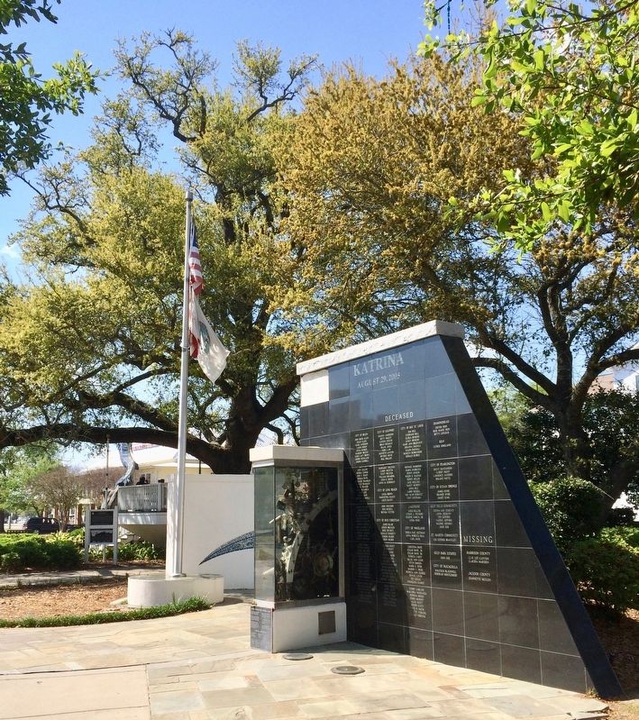
— Katrina Memorial, 710 Beach Boulevard —
Inscription.
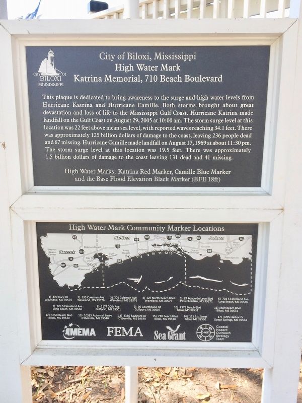
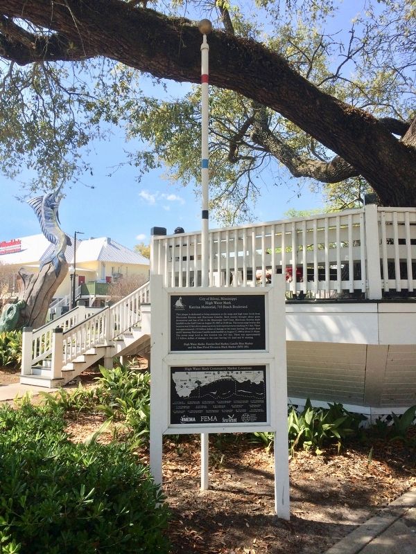
This plaque is dedicated to bring awareness to the surge and high water levels from Hurricane Katrina and Hurricane Camille. Both storms brought about great devastation and loss of life to the Mississippi Gulf Coast. Hurricane Katrina made landfall on the Gulf coast on August 29, 2005 at 10:00 am. The storm surge level at this location was 22 feet above mean sea level, with reported waves reaching 34.1 feet. There was approximately 125 billion dollars of damage to the coast, leaving 236 people dead and 67 missing. Hurricane Camille made landfall on August 17, 1969 at about 11:30 pm. The storm surge level at this location was 19.5 feet. There was approximately 1.5 billion dollars of damage to the coast leaving 131 dead and 41 missing.
High Water Marks: Katrina Red Marker, Camille Blue Marker and the Base Flood Elevation Black Marker (BFE 18ft)
Lower marker shows a map of High Water Mark Community Marker locations.
Erected 2015 by the City of Biloxi.
Topics. This historical marker is listed in these topic lists: Disasters • Waterways & Vessels. A significant historical date for this entry is August 29, 2005.
Location. 30° 23.609′ N, 88° 53.162′ W. Marker is in Biloxi, Mississippi, in Harrison County. Marker can be reached from the intersection of Main Street and Beach Boulevard (Highway 90). Located on the Biloxi Town Green. Touch for map. Marker is at or near this postal address: 133 Main Street, Biloxi MS 39530, United States of America. Touch for directions.
Other nearby markers. At least 8 other markers are within walking distance of this marker. Chris LeDoux (a few steps from this marker); Historic Downtown Biloxi Walking Tour (within shouting distance of this marker); Historic Downtown Biloxi (within shouting distance of this marker); Biloxi City Park & Welcome Sign (within shouting distance of this marker); Brielmaier House (within shouting distance of this marker); William Bartram Trail (about 400 feet away, measured in a direct line); Biloxi Public Library 1925 (about 500 feet away); Biloxi (about 500 feet away). Touch for a list and map of all markers in Biloxi.
Regarding High Water Mark. One of 17 Hurricane Katrina and Hurricane Camille high water markers that are placed in Mississippi communities from Waveland to Ocean Springs.
The markers were coordinated by the Federal Emergency Management Agency, the Mississippi Emergency Management Agency, Mississippi-Alabama Sea Grant and the Coastal Hazard Outreach Strategy Team (C-HOST), a regional outreach team that consists of representatives from 12 coastal communities.
Related marker. Click here for another marker that is related to this marker.
Credits. This page was last revised on March 28, 2017. It was originally submitted on March 28, 2017, by Mark Hilton of Montgomery, Alabama. This page has been viewed 652 times since then and 41 times this year. Photos: 1, 2, 3. submitted on March 28, 2017, by Mark Hilton of Montgomery, Alabama.


