4 entries match your criteria.
Related Historical Markers
By Duane and Tracy Marsteller, March 12, 2024
Coleman's Mill Marker
SHOWN IN SOURCE-SPECIFIED ORDER
| | On Yockanookany, 1/2 mi. S., was built in 1836 water mill of W.R. Coleman of Fairfield Co. S.C., first white settler after Choctaw cession in Treaty of Dancing Rabbit Creek. — — Map (db m51198) HM |
| |
The Town of Gainesville, a designated Tree City USA, was founded in 1832. The land on which the town is located was originally owned by John Coleman, husband to a Choctaw Indian of the area. He sold the land to Colonel Moses Lewis, who had the . . . — — Map (db m69709) HM |
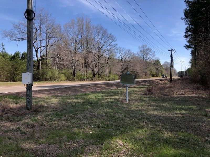
| | The road to your left, running to Canton, Mississippi, was opened in 1834 and named for Choctaw Indian Chief Ofahoma or Red Dog. Like other Choctaw, he had accepted the way of his European neighbors and had become a farmer.
Chief Ofahoma . . . — — Map (db m87488) HM |
| |
1736: First settlement by French at Ft. Tombecbee.
1830: U.S. got Choctaw Indian lands by Treaty of Dancing Rabbit Creek.
1832: County created by Act of State Legislature -- named for Gen. Thomas Sumter, "The Gamecock," South . . . — — Map (db m92663) HM |
Apr. 23, 2024