Near Gove City in Gove County, Kansas — The American Midwest (Upper Plains)
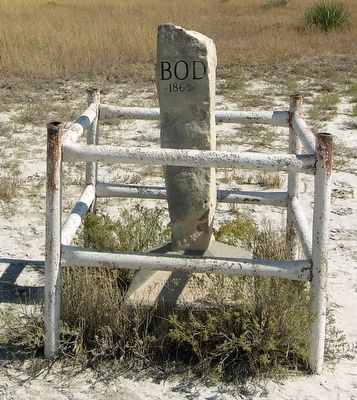
BOD
1865
— Butterfield Overland Despatch —
Butterfield Overland
Despatch
Atchison to Denver
Traversed by Gen Fremont 1844
First Denver Stagecoach 1859
Retraced and Mapped by
Howard C Raynesford Ellis Kansas
Marker Placed 1963
Erected 1963.
Topics. This historical marker is listed in these topic lists: Communications • Exploration • Roads & Vehicles. A significant historical year for this entry is 1844.
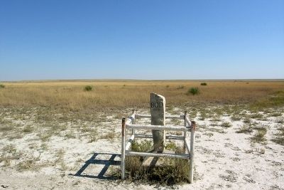
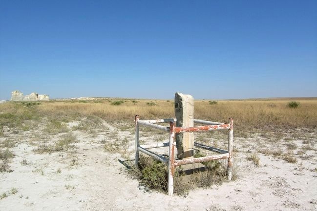
Location. 38° 47.345′ N, 100° 45.776′ W. Marker is near Gove City, Kansas, in Gove County. Marker is on County Road 16, 2.1 miles north of County Road E, on the right when traveling north. Touch for map. Marker is in this post office area: Grinnell KS 67738, United States of America. Touch for directions.
Other nearby markers. At least 8 other markers are within 14 miles of this marker, measured as the crow flies. El Cuartelejo Archeology (approx. 11.3 miles away); El Cuartelejo (approx. 11.3 miles away); Plains Apache at El Cuartelejo (approx. 11.3 miles away); Pueblo Floor Plan (approx. 11.3 miles away); El Quartelejo (approx. 11.3 miles away); Steele Memorial (approx. 11˝ miles away); a different marker also named El Quartelejo (approx. 13.3 miles away); Battle Canyon, 1878 (approx. 13.4 miles away).
More about this marker. The marker text is inscribed on the front face of the marker's concrete base.
Additional commentary.
1. Howard C. Raynesford and the BOD
The person most responsible for the marking of the Butterfield Overland Despatch (BOD) route in Kansas is Howard C. Raynesford. For over three decades Raynesford identified in the field the route of the stage line and the forts and stage stations along the route. His work culminated in the Kansas Legislature approving Statute 68-1017 in 1963 authorizing the marking of the Smoky Hill Trail in Kansas, which was also used by the BOD. From Kanopolis to the Colorado state line 138 limestone posts in concrete bases were erected on every graded road that crossed the trail. For more information on Howard Raynesford and his work on the BOD, see the Smoky Hill Trail Association's webpage on Mr. B.O.D. - Howard C. Raynesford.
— Submitted March 9, 2016.
Credits. This page was last revised on March 15, 2022. It was originally submitted on March 9, 2016, by Duane Hall of Abilene, Texas. This page has been viewed 1,025 times since then and 102 times this year. Photos: 1, 2, 3. submitted on March 9, 2016, by Duane Hall of Abilene, Texas.
Editor’s want-list for this marker. Closeup photo of marker text inscribed on the front face of the marker's concrete base. • Can you help?


