Marker Logo HMdb.org THE HISTORICAL
MARKER DATABASE
“Bite-Size Bits of Local, National, and Global History”
Results contain just this marker . . .
Rush Springs in Grady County, Oklahoma — The American South (West South Central)
 

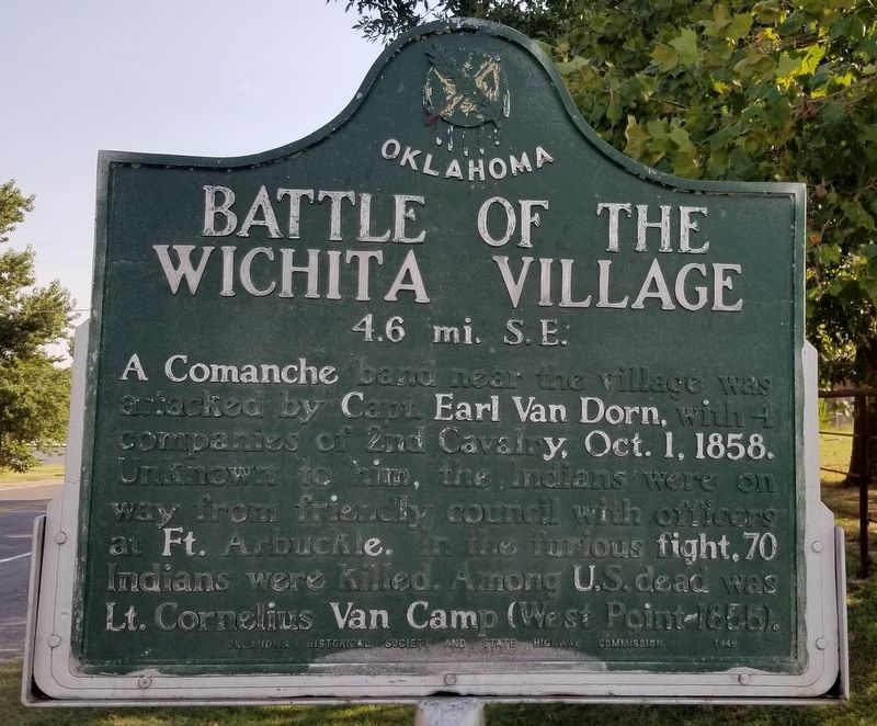
Battle of the Wichita Village

4.6 mi. S.E.


Battle of the Wichita Village Marker image. Click for full size.
Photographed By James Hulse, September 8, 2021
1. Battle of the Wichita Village Marker
Inscription. A Comanche band near the village was attacked by Capt. Earl Van Dorn, with 4 companies of 2nd Cavalry, Oct. 1, 1858. Unknown to him, the Indians were on way from friendly council with officers at Ft. Arbuckle. In the furious fight, 70 Indians were killed. Among U.S. dead was Lt. Cornelius Van Camp (West Point-1855).
 
Erected 1949 by Oklahoma Historical Society and State Highway Commission.
 
Topics and series. This historical marker is listed in these topic lists: Native AmericansWars, US Indian. In addition, it is included in the Oklahoma Historical Society series list. A significant historical year for this entry is 1858.
 
Location. 34° 47.242′ N, 97° 57.382′ W. Marker is in Rush Springs, Oklahoma, in Grady County. Marker is on North Rush Avenue (Business U.S. 81) 0.1 miles north of Arapahoe Avenue, on the right when traveling north. The marker is located on the outskirts of town along the highway. Touch for map. Marker is at or near this postal address: 515 North Rush Ave, Rush Springs OK 73082, United States of America. Touch for directions.
 
Other nearby markers. At least 5 other markers are within 15 miles of this marker, measured as the crow flies. Marlow Brothers Hideout (approx. 9.7 miles away); Redbud Chapel (approx. 9.7 miles away); On the Chisholm Trail (approx. 9.7 miles
Paid Advertisement
Click on the ad for more information.
Please report objectionable advertising to the Editor.
Click or scan to see
this page online
away); The Marlow Brothers (approx. 9.7 miles away); Cement Area Veterans Memorial (approx. 14.6 miles away).
 
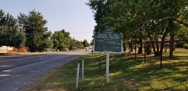
The Battle of the Wichita Village Marker along the road image. Click for full size.
Photographed By James Hulse, September 8, 2021
2. The Battle of the Wichita Village Marker along the road
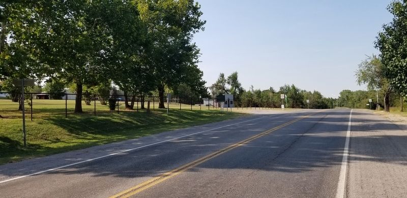
The view of the Battle of the Wichita Village Marker from the street image. Click for full size.
Photographed By James Hulse, September 8, 2021
3. The view of the Battle of the Wichita Village Marker from the street
 
 
Credits. This page was last revised on September 11, 2021. It was originally submitted on September 11, 2021, by James Hulse of Medina, Texas. This page has been viewed 793 times since then and 211 times this year. Photos:   1, 2, 3. submitted on September 11, 2021, by James Hulse of Medina, Texas.
Share this page.  
Share on Tumblr
m=181528

CeraNet Cloud Computing sponsors the Historical Marker Database.
This website earns income from purchases you make after using our links to Amazon.com. We appreciate your support.
Paid Advertisement
Apr. 24, 2024