Marker Logo HMdb.org THE HISTORICAL
MARKER DATABASE
“Bite-Size Bits of Local, National, and Global History”


2 entries match your criteria.  


Historical Markers in Umatac, Guam

 
Fort Nuestra de la Soledad, 1810 Marker image, Touch for more information
Courtesy of Thomas P. Martin, February 27, 2015
Fort Nuestra de la Soledad, 1810 Marker
1 Guam, Umatac — Fort Nuestra de la Soledad, 1810
Near Soledad Drive, 0.2 miles west of Highway 2 when traveling west.
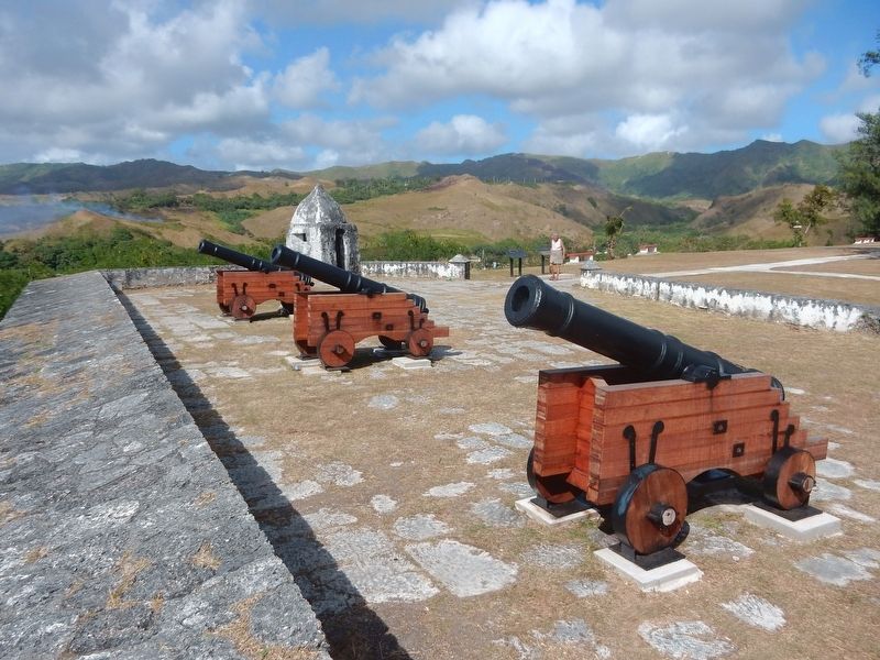
For 250 years, beginning around 1565, Spanish galleons sailed yearly from Acapulco, Mexico to Manila in the Philippines and return. The only replenishment stop for these Acapulco galleons on the long voyage was Umatac Bay. From 1680 to 1810, the . . . Map (db m185858) HM
2 Guam, Umatac — Magellan's Landing
Near Highway 2, 0.1 miles east of Nino Perdido Street, on the right when traveling east.
. . . Map (db m185702) HM


CeraNet Cloud Computing sponsors the Historical Marker Database.
This website earns income from purchases you make after using our links to Amazon.com. We appreciate your support.
Paid Advertisement
Apr. 16, 2024