Near Fairfield in Camas County, Idaho — The American West (Mountains)
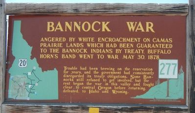
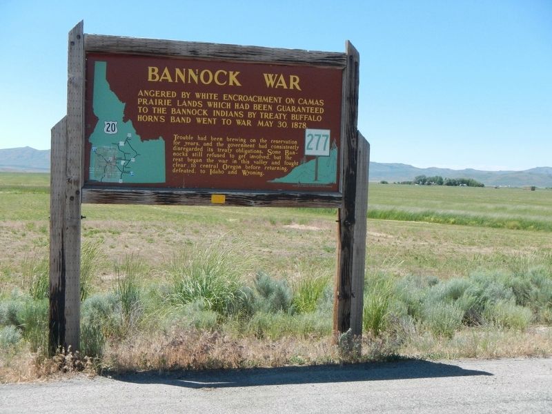
Bannock War
Angered by white encroachment on Camas Prairie lands which had been guaranteed to the Bannock Indians by treaty, Buffalo Horn's band went to war May 30, 1878
Trouble had been brewing on the reservation for years, and the government had consistently disregarded its treaty obligations. Some Bannocks still refused to get involved, but the rest began the war in this valley and fought clear to central Oregon before returning, defeated, to Idaho and Wyoming.
Erected by Idaho Department of Transportation. (Marker Number 277.)
Topics and series. This historical marker is listed in this topic list: Wars, US Indian. In addition, it is included in the Idaho State Historical Society series list. A significant historical date for this entry is May 30, 1878.
Location. 43° 20.526′ N, 114° 51.81′ W. Marker is near Fairfield, Idaho, in Camas County. Marker is on U.S. 20 at milepost 148 near Washington/Wheat Ranch Road, on the left when traveling west. Touch for map. Marker is in this post office area: Fairfield ID 83327, United States of America. Touch for directions.
Also see . . . War with the Snake, Bannock and Paiute, Umatilla County, Oregon. Oregon Genealogy and History website entry:
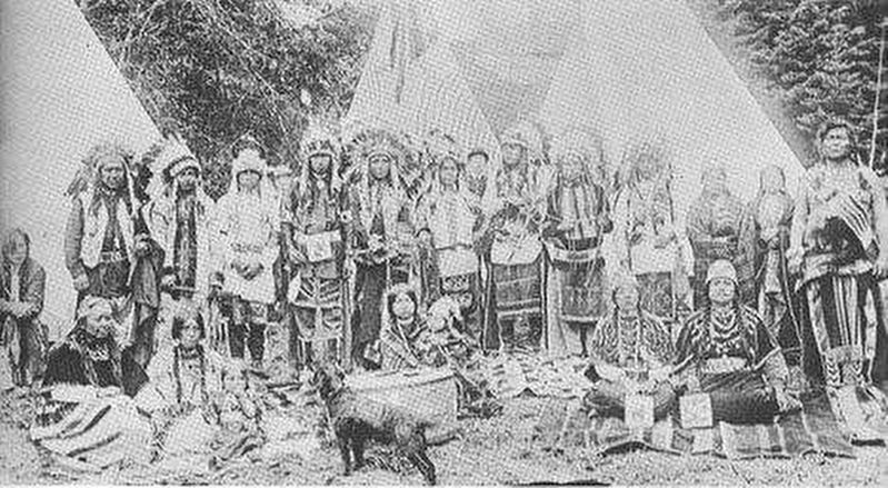
The Bannock tribe declared war on the white settlers in May 1878. Hostilities began in southern Idaho where the Bannocks battled cattlemen and other white settlers settling on the Big Camas prairie, part of the tribe's treaty reservation. Two hundred warriors, led by Buffalo Horn, moved across the prairie toward the Snake River, raiding settlements as they went. Pursued by federal troops, they crossed into Oregon and joined with the Paiutes and other Indian tribes, numbers 2,000 in all. (Submitted on November 16, 2017, by Barry Swackhamer of Brentwood, California.)
Credits. This page was last revised on May 31, 2022. It was originally submitted on November 16, 2017, by Barry Swackhamer of Brentwood, California. This page has been viewed 2,486 times since then and 224 times this year. Photos: 1, 2, 3. submitted on November 16, 2017, by Barry Swackhamer of Brentwood, California.


