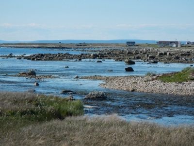
Near Newfoundland and Labrador Route 430, on the left when traveling north.
These are critically endangered microbial structures. Thrombolites-building micro-organisms resemble the earliest form of life on Earth. These organisms were the only known form of life from 3.5 billion to 650 million years ago. These are some of . . . — — Map (db m79656) HM
Near unnamed road close to Newfoundland and Labrador Route 430.
English:
In 2000, the global stratotype for the boundary between the Cambrian and Ordovician systems was designated here at Green Point by the International Commission of Stratigraphy. It is located within a bed of shale and limestone . . . — — Map (db m79654) HM
Near Newfoundland and Labrador Route 436 close to Newfoundland and Labrador Route 430.
English:
Discovered in 1960, this is the first authenticated Norse site found in North America and could be Leif Ericsson's short-lived Vinland camp. Some time about AD 1000 Norse seafarers established a base here from which they . . . — — Map (db m79611) HM
Near unnamed road close to Newfoundland and Labrador Route 43.
English:
Following clues in the ancient Icelandic sagas, and the writings of Viking scholars and enthusiasts, Norwegian writer and explorer Helge Ingstad arrived at L’Anse aux Meadows in 1960. When he asked whether there were any unusual . . . — — Map (db m79650) HM
In 1912, a light was established at the south entrance of St. Anthony Harbour replacing the original harbour light placed there in 1906.
The white occulting light was installed in a cast-iron light tower. It exhibited 20.5 meters (67 feet) above . . . — — Map (db m79667) HM
On West Street close to Hospital Road, on the right when traveling east.
English:
Born in England and trained in medicine, Grenfell gave 50 years of service to the people of northern Newfoundland and Labrador, and became a legend in his own time. He and those he inspired brought medical, spiritual and . . . — — Map (db m79610) HM
St. Anthony Haven
By tradition St. Anthony harbour was named by French explorer Jacque Cartier in 1534. Indeed, it is probable that the long, deep and sheltered harbour was already well-known to fishermen of the French province . . . — — Map (db m79668) HM