Fishing has been the backbone of Yarmouth's culture and economy for over 200 years. In the early days, salted dried cod was shipped by schooners and barques headed to the West Indies in exchange for rum, molasses and sugar. Today Yarmouth's . . . — — Map (db m107349) HM
The Southwestern shore of Nova Scotia, including Yarmouth County, is home to one of Canada's largest fisheries. For over two hundred years, fishing boats have sailed past this point, as well as from other ports in this region, to fish groundfish, . . . — — Map (db m107638) HM
An enduring symbol of Yarmouth's historic and economic ties to the sea, a lighthouse has towered over the rocky headlands of Cape Forchu since 1839, guiding mariners to the safety of Yarmouth Harbour. The current lighthouse was automated in . . . — — Map (db m107293) HM
Cheboque
The name "Cheboque" comes from the Mi'kmaw word for "big marshes", a very accurate name for this area. Beginning at Arcadia, the Cheboque salt marsh sprawls 343 hectares (837 acres) alongside the Cheboque River.
According to a 1607 . . . — — Map (db m107735) HM
The amazing geological formations you see along the Leif Ericson Trail, and at Cape Forchu, are the result of ancient volcanoes that erupted approximately 444-429 million years ago during the Silurian and early Devonian periods in Earth's . . . — — Map (db m107540) HM
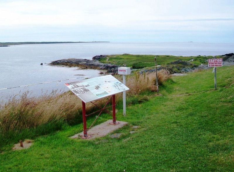
Harbour of Deception
For almost two centuries, Yarmouth's False Harbour has lived up to its name. Located at the end of Cape Forchu, False Harbour's rocky shores have fooled the most experienced and capable of mariners, especially during . . . — — Map (db m107719) HM
The Town of Yarmouth, and its surrounding area, was settled in 1761 by Planters from Massachusetts. These settlers fished along the coast and harvested lumber from the forests to build homes, businesses and sailing vessels. By the . . . — — Map (db m107298) HM
The year 1879 was a disastrous one for Yarmouth County, Nova Scotia, with no fewer than 31 vessels lost along with 106 persons. The ships lost were among the best of the Yarmouth fleet, some carrying valuable cargoes. The loss of life left 26 . . . — — Map (db m107392) HM
Balise canadienne
Lorsque Samuel de Champlain visita la région en 1604, il la nomma Cap-Fourchu. Un an plus tard, Champlain s'installa à Port-Royal ou, La Cadie, un nom dérivé du nom « L'Arcadie » qu'un explorateur italien aviat donné à la . . . — — Map (db m107359) HM
Pieces of the Past
Since 1840, a lighthouse has kept watch over Cape Forchu and the approaches of Yarmouth Harbour.
In 1962, the original lighthouse was replaced with the iconic "apple core" structure that towers over the Cape today.
The . . . — — Map (db m107551) HM
Watching the waves crashing around Cape Forchu provides a small glimpse of the awesome and terrifying power of the sea. It continually shapes the lives of those who live and work by it. A source of beauty, bounty and economic prosperity, the . . . — — Map (db m107284) HM
The Tusket Islands
Located south of Yarmouth, the Tusket Islands extend mainly along the coast, from Pinkney's Point to Wedgeport. The Tusket Island chain was once a great asset to the fishing economy of Nova Scotia's Southwestern . . . — — Map (db m107652) HM
A Yarmouth - Viking Connection?
This scenic trail is named after the famous Norse explorer, and son of Eric the Red, Leif Ericson, who may have visited these shores sometime around 1000 AD.
Many scholars regard Leif Ericson as the first . . . — — Map (db m107487) HM