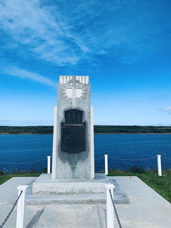
En mémoire des paroissiens de Chéticamp
morts dans les deux guerres mondiales
In memory of the parishioners of Chéticamp who died in the two World Wars
1914 - 1918
Hypolite H. AuCoin
Hubert AuCoin
William W. . . . — — Map (db m139821) WM
The life story of Jeanne Dugas illustrates
the experiences of Acadíans in the second
half of the 18th century. She and her
family fled Ile Royale (Cape Breton Island)
to escape the deportation of 1758, but
were later captured by the . . . — — Map (db m139618) HM
1790-1990 On September 27, 1790, His Excellency William MacCormick, Governor of the Province of Cape Breton, graciously and generously granted
7 000 acres of land at Chéticamp to our «Quatorze Vieux». By this
historical act, our . . . — — Map (db m140169) HM
Near Cabot Trail just north of Barren Road, on the left when traveling north.
Français:
Dés l'année suivante, en 1927, M. J. Macfarland engage M. A. Boudreau à temps plein comme directeur-adjoint des opérations à Chéticamp. M. Boudreau s'occupe particulièrement de la comptabilité de la compagnie, . . . — — Map (db m139698) HM
Near Cabot Trail just north of Barren Road, on the left when traveling north.
Français:
Cette bouée ancrée dans le havre de Chéticamp permettait aux grands transatlantiques de tourner sur eux-mêmes. Elle avait été entièrement attachée avec des rivets chauds. Elle servit de 1928 à 1946.
. . . — — Map (db m139797) HM
Near Cabot Trail just north of Barren Road, on the left when traveling north.
Français:
La guerre met cependant fin aux opérations quand l'Angleterre réquisitionne les bateaux pour le ravitaillement des troupes. La dernière cargaison pour l'Angleterre fut déchargée en mer pour permettre au bateau de se . . . — — Map (db m139734) HM
Near Cabot Trail just north of Barren Road, on the left when traveling north.
Français:
Après plusieurs vaines tentatives de ressusciter l'entreprise, ce n'est qu'en 1926 que l'Atlantic Gypsum Company de Boston achète toutes les installations et engage M. Joseph MacFarland pour relancer l'exploitation de la . . . — — Map (db m139697) HM
Built in 1893, St-Pierre's Church majestically watches over
the Acadian community of Chéticamp. An imposing 212
feet long, 74 feet wide and with a steeple rising to 167 feet,
St-Pierre's lavish Baroque interior and original . . . — — Map (db m139872) HM
On Cabot Trail just north of Barren Road, on the left when traveling north.
Father Pierre Fiset, Chéticamp parish priest, is generally recognized as being responsible
for starting the gypsum mine in Chéticamp in 1907. When news broke that a prospector named Grandin had found gypsum in Chéticamp, Father Fiset . . . — — Map (db m139335) HM
Near Cabot Trail just north of Barren Road, on the left when traveling north.
Français:
On creuse un tunnel de l'entrepôt jusqu'à la mer, passant sous le chemin ; on construit un long quai recouvert dans lequel on achemine le gypse par convoyeur. Tous les travaux sont terminés en 1929, et au mois de juin de . . . — — Map (db m139696) HM
Near Cabot Trail just north of Barren Road, on the left when traveling north.
Français: Les affaires vont bien, on décide d'agrandir. Après le décès du Père Fiset, on emprunte 100,000$ pour construire une voie ferrée entre la carrière et le quai des Fiset. On achète une locomotive à vapeur avec dix wagons de . . . — — Map (db m139695) HM