Marker Logo HMdb.org THE HISTORICAL
MARKER DATABASE
“Bite-Size Bits of Local, National, and Global History”


3 entries match your criteria.  


Historical Markers in Greater Napanee, Ontario

 
L’Etablissement des Loyalistes dans la Baie d Quinte Marker image, Touch for more information
By Barry Swackhamer, August 8, 2014
L’Etablissement des Loyalistes dans la Baie d Quinte Marker
1 Ontario, Lennox and Addington County, Greater Napanee — Bay of Quinte Loyalist SettlementL’Etablissement des Loyalistes dans la Baie d Quinte
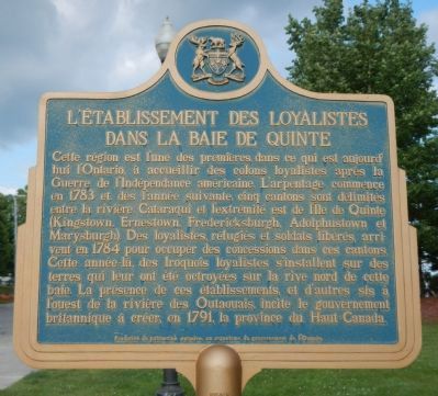
English: This region was among the first in present day Ontario to receive loyalist settlers following the American Revolution. Surveying began in 1783, and by the following year five townships had been laid out between the Cataraqui River . . . Map (db m83649) HM
2 Ontario, Lennox and Addington County, Greater Napanee — Escape of the Royal George 1812
Opposite here is the gap between Amherst Island and the eastern tip of Prince Edward County. On November 9, 1812, the British Corvette "Royal George" (22 guns), commanded by Commodore Hugh Earl(e), was intercepted off False Duck Islands by an . . . Map (db m83643) HM
3 Ontario, Lennox and Addington County, Greater Napanee — The Royal Union Flag1707-1801
Originally designed in 1606, this flag was officially adopted in 1707 by England and Scotland as their royal standard at the time of the union of the thrones and parliaments of both countries. It consists of the blue background and white diagonal . . . Map (db m83647) HM


CeraNet Cloud Computing sponsors the Historical Marker Database.
This website earns income from purchases you make after using our links to Amazon.com. We appreciate your support.
Paid Advertisement
Apr. 25, 2024