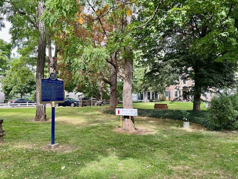
A Loyalist from the Mohawk Valley, New York, Nelles came
to Canada during the American Revolution and from 1780 to
1784 served in the Indian Department. Following hostilities he settled near the Grand River but by 1792 had moved to this area. . . . — — Map (db m233660) HM
[English Text]: Engagement at the Forty
Here at the Forty Mile Creek, on 8th June, 1813, American forces, retreating after the Battle of Stoney Creek, were bombarded by a British flotilla under Sir James Lucas Yeo.
Indians and . . . — — Map (db m56704) HM
First Town Meeting
-1790-
Near this site on April 5. 1790, was held the
earliest known session of a municipal government
in what is now Ontario. This ‘town meeting' of
Township No. 6, later named Grimsby, dealt with
such matters as the . . . — — Map (db m233729) HM
Grimsby Nature
Fisheries in Grimsby
The fish once caught in Lake Ontario help tell the story of settlement and growth around Forty Mile Creek. The Neutral Confederacy, Niagara's first inhabitants, were well established in the area, . . . — — Map (db m234100) HM
We dedicate this flagpole to the
Grimsby 1812 Bicentennial peace garden
in honour of the "Encounter at the Forty"
at this site on June 8, 1813, a turning point in
the War of 1812 by the United States and the British.
Also, to celebrate 200 . . . — — Map (db m56993) HM
We dedicate this gazebo to the Grimsby 1812 Bicentennial Peace Garden and to the residents of Grimsby, In commemoration of 200 years of peace between Canada and the United States.
The design of the gazebo was inspired by elements of Fort George . . . — — Map (db m57034) HM
This bell was purchased by the Village Council for the
Fire Department in 1883 and placed on John Grout's Foundry, corner of Main and Oak Streets.
For 75 years it summoned firemen, signified working hours,
and proclaimed curfews. It pealed . . . — — Map (db m234131) HM
History of the Biggar Lagoons
It was the rare sightings of shorebirds that originally attracted area bird watchers to the Biggar Lagoons.
The Biggar Lagoons were sewage treatment lagoons for neighbourhoods in the west end of Grimsby from . . . — — Map (db m234129) HM
This nearby burial-ground, one of few representative sites
known to have survived relatively intact in Ontario, was used by the Neutral Indians, a confederacy of Iroquoian tribes which occupied the area around western Lake Ontario before 1655. . . . — — Map (db m233650) HM
On this land donated by Robert Nelles, United Empire
Loyalist, the pioneers of this community built a log church in 1794. It was replaced by a frame structure which was completed by 1804. The present stone church was erected 1819-25 and . . . — — Map (db m233732) HM
Grimsby Remembers
The War of 1812
Engagement at the Forty: June 8, 1813
By the afternoon of June 6th the American army at least 3,300 strong were in full retreat, in total confusion, from the battle at Stoney Creek. Both General Winder . . . — — Map (db m233784) HM