Marker Logo HMdb.org THE HISTORICAL
MARKER DATABASE
“Bite-Size Bits of Local, National, and Global History”


3 entries match your criteria.  


Historical Markers in Ingleside, Ontario

 
Lost Villages Historical Society Marker image, Touch for more information
By Robert Rusaw, July 23, 2022
Lost Villages Historical Society Marker
1 Ontario, Stormont, Dundas and Glengarry United Counties, Ingleside — AultsvilleLost Villages Historical Society
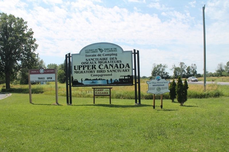
At approximately three-quarters of a kilometre to the south, lay the village of Aultsville, population 450, founded by United Empire Loyalists of the King's Royal Regiment of New York, on the Crown Grant of Nicholas Ault. . . . Map (db m205350) HM
2 Ontario, Stormont, Dundas and Glengarry United Counties, Ingleside — Farran's PointLost Villages Historical Society — Farran's Point Canal and Pavilion —
English: To the south west, at approximately 1.2 kilometres, lies Farran’s Point, a village of 300 residents. The village developed on the Crown Land Grant to Jacob Farran, a Lieutenant in the King’s Royal Regiment of New York. The . . . Map (db m150230) HM
3 Ontario, Stormont, Dundas and Glengarry United Counties, Ingleside — Holstein Friesian Cattle in Ontario
In 1881 Michael Cook, who operated a prosperous 200-acre farm here, imported the first Holstein Friesian cattle into Ontario. This was part of a movement among progressive farmers to find a breed of cattle that would produce enough milk for . . . Map (db m86842) HM


CeraNet Cloud Computing sponsors the Historical Marker Database.
This website earns income from purchases you make after using our links to Amazon.com. We appreciate your support.
Paid Advertisement
Apr. 16, 2024