Louisville in Barbour County, Alabama — The American South (East South Central)
The Battles of Hobdy's Bridge and Pea River
— Creek Heritage Trail —
Inscription.
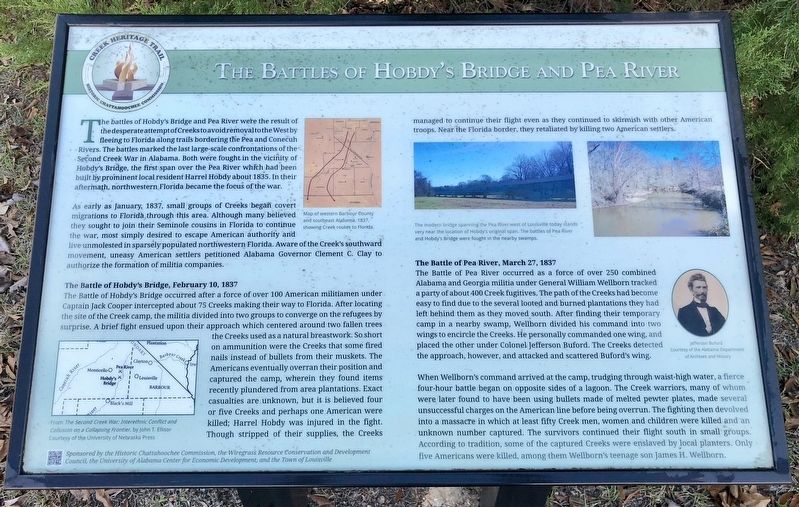
The battles of Hobdy's Bridge and Pea River were the result of the desperate attempt of Creeks to avoid removal to the West by fleeing to Florida along trails bordering the Pea and Conecuh Rivers. The battles marked the last large-scale confrontations of the Second Creek War in Alabama. Both were fought in the vicinity of Hobdy's Bridge, the first span over the Pea River which had been built by prominent local resident Harrel Hobdy about 1835. In their aftermath, northwestern Florida became the focus of the war.
As early as January, 1837, small groups of Creeks began covert migrations to Florida through this area. Although many believed they sought to join their Seminole cousins in Florida to continue the war, most simply desired to escape American authority and live unmolested in sparsely populated northwestern Florida. Aware of the Creek's southward movement, uneasy American settlers petitioned Alabama Governor Clement C. Clay to authorize the formation of militia companies.
The Battle of Hobdy's Bridge, February 10, 1837
The Battle of Hobdy's Bridge occurred after a force of over 100 American militiamen under Captain Jack Cooper intercepted about 75 Creeks making their way to Florida. After locating the site of the Creek camp, the militia divided into two groups to converge on the refugees by surprise. A brief fight ensued upon their approach which centered around two fallen trees the Creeks used as a natural breastwork. So short on ammunition were the Creeks that some fired nails instead of bullets from their muskets. The Americans eventually overran their position and captured the camp, wherein they found items recently plundered from area plantations. Exact casualties are unknown, but it is believed four or five Creeks and perhaps one American were killed; Harrel Hobdy was injured in the fight. Though stripped of their supplies, the Creeks managed to continue their flight even as they continued to skirmish with other American troops. Near the Florida border, they retaliated by killing two American settlers.
The Battle of Pea River, March 27, 1837
The Battle of Pea River occurred as a force of over 250 combined Alabama and Georgia militia under General William Wellborn tracked a party of about 400 Creek fugitives. The path of the Creeks had become easy to find due to the several looted and burned plantations they had left behind them as they moved south. After finding their temporary camp in a nearby swamp, Wellborn divided his command into two wings to encircle the Creeks. He personally commanded one wing, and placed the other under Colonel Jefferson Buford. The Creeks detected the approach, however, and attacked and scattered Buford's wing.
When
Wellborn's command arrived at the camp, trudging through waist-high water, a fierce four-hour battle began on opposite sides of a lagoon. The Creek warriors, many of whom were later found to have been using bullets made of melted pewter plates, made several unsuccessful charges on the American line before being overrun. The fighting then devolved into a massacre in which at least fifty Creek men, women and children were killed and an unknown number captured. The survivors continued their flight south in small groups. According to tradition, some of the captured Creeks were enslaved by local planters. Only five Americans were killed, among them Wellborn's teenage son James H. Wellborn.
Photo captions:
Right top map: Map of western Barbour County and southeast Alabama 1837, showing Creek routes to Florida.
Right bottom map: From The Second Creek War: Interethnic Conflict and Collusion on a Collapsing Frontier
Right top: The modern bridge spanning the Pea River west of Louisville today stands very near the location of Hobdy's original span. The battles of Pea River and Hobdy's Bridge were fought in the nearby swamps.
Right middle: Jefferson Buford
Erected 2015 by the Historic Chattahoochee Commission, the Wiregrass Resource Conservation and Development Council, the University of Alabama
Center for Economic Development, and the Town of Louisville.
Topics. This historical marker is listed in these topic lists: Native Americans • Wars, US Indian • Waterways & Vessels. A significant historical month for this entry is January 1837.
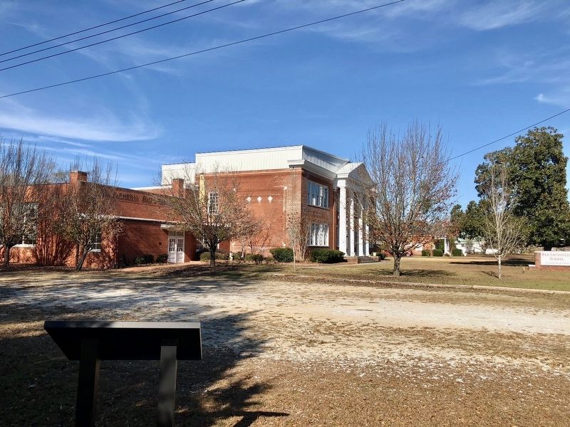
Location. 31° 47.304′ N, 85° 33.161′ W. Marker is in Louisville, Alabama, in Barbour County. Marker is on North Main Street (Alabama Route 51) 0.6 miles south of West Street, on the right when traveling south. Located on the grounds of the Old Louisville School. Touch for map. Marker is at or near this postal address: 1871 North Main Street, Louisville AL 36048, United States of America. Touch for directions.
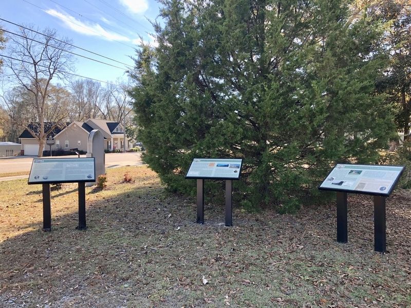
Other nearby markers. At least 8 other markers are within 5 miles of this marker, measured as the crow flies. Louisville and "Old Alabama" (here, next to this marker); The Opening of the Second Phase of the Second Creek War (here, next to this marker); Louisville (here, next to this marker); The Old County Court House (within shouting distance of this marker); Fire Bell (approx. 0.4 miles away); Louisville World War II Memorial (approx. ¾ mile away); Barbour County's "Little Scotland"/Pea River Presbyterian Church (approx. 4.6 miles away); Pea River Presbyterian Church Cemetery (approx. 4.6 miles away). Touch for a list and map of all markers in Louisville.
Related marker. Click here for another marker that is related to this marker.
Also see . . . Battle of Hodby's Bridge - Desperate Fight on the Pea River. (Submitted on December 17, 2017, by Mark Hilton of Montgomery, Alabama.)
Credits. This page was last revised on March 10, 2021. It was originally submitted on December 17, 2017, by Mark Hilton of Montgomery, Alabama. This page has been viewed 976 times since then and 92 times this year. Photos: 1, 2, 3. submitted on December 17, 2017, by Mark Hilton of Montgomery, Alabama.


