2 entries match your criteria.
Related Historical Markers
By Cosmos Mariner, June 27, 2015
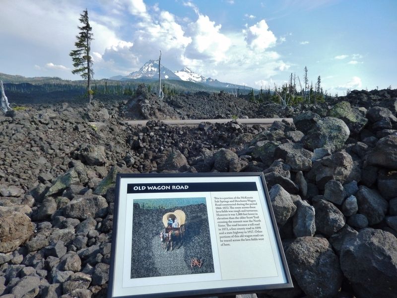
Old Wagon "road" is visible crossing highway beyond marker; beyond that are the "Three Sisters"
SHOWN IN SOURCE-SPECIFIED ORDER
| 1 ► Oregon, Lane County, Blue River — Old Wagon Road — |
| This is a portion of the McKenzie Salt Springs and Deschutes Wagon Road constructed during the period 1866-1872. The route across these lava fields was rough and torturous. However it was 1,000 feet lower in elevation than the older Scott Trail . . . — — Map (db m114227) HM | |||
| 2 ► Oregon, Lane County, Blue River — Dee Wright Observatory — |
| This observation point has been provided to facilitate public enjoyment of the unusual and interesting combination of historical and geological features nearby. The development was planned and supervised by the Willamette National Forest and . . . — — Map (db m114229) HM | |||