5 entries match your criteria.
Related Historical Markers
Colorado/Nebraska Border Counties
By Cosmos Mariner, June 28, 2018
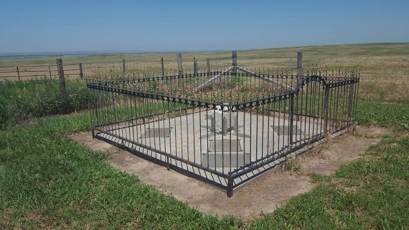
Colorado's Northeast Corner Marker (wide view; marker visible foreground of fenced enclosure)
SHOWN IN SOURCE-SPECIFIED ORDER
| | This tablet is the
Property of the State of Colorado
——
The Organic Act creating the Territory of Colorado was signed by President Buchanan on February 26, 1861. The act carved from the territories of Kansas, Nebraska, Utah and . . . — — Map (db m119436) HM |
| |
The Northeastern most county in Colorado was first Weld County, later Logan County and established in its own right April 9, 1889.
It consists of 554 square miles, incorporating 3 towns: The County Seat, Julesburg, Ovid and Sedgwick.
. . . — — Map (db m119437) HM |
| |
The southeast corner of the Nebraska panhandle was organized November 6, 1888 from a part of Cheyenne County. Deuel County has two incorporated towns, Chappell, the County Seat and Big Springs.
Before 1850 Teton Sioux Indians camped on the . . . — — Map (db m119438) HM |
| |
Organized May 3, 1873, when Perkins was still a part of Keith County. The southwest corner is the southwest corner section eighteen of township twelve, north, range forty-one of the 6th P.M.
Both the north and south Platte Rivers traverse . . . — — Map (db m119439) HM |
| |
Organized on November 8, 1887 from a part of Keith County. Consists of generally prairie land with some sand hills. Its northwest corner is the northwest corner of section nineteen, township twelve, north, range forty-one west of the 6th P.M, . . . — — Map (db m119440) HM |
Apr. 25, 2024