Near Ashland in Jackson County, Oregon — The American West (Northwest)
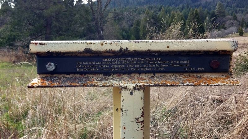
Siskiyou Mountain Wagon Road
Erected 1979 by Southern Oregon Historical Society.
Topics. This historical marker is listed in this topic list: Roads & Vehicles. A significant historical year for this entry is 1858.
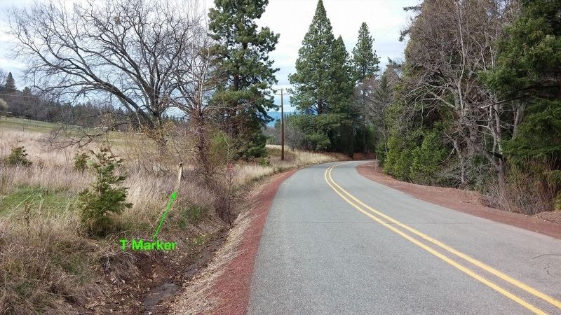
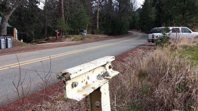
Location. 42° 5.036′ N, 122° 35.621′ W. Marker is near Ashland, Oregon, in Jackson County. Marker is on Old Siskiyou Highway, on the right when traveling south. Touch for map. Marker is in this post office area: Ashland OR 97520, United States of America. Touch for directions.
Other nearby markers. At least 8 other markers are within 7 miles of this marker, measured as the crow flies. A different marker also named Siskiyou Mountain Wagon Road (approx. 1.4 miles away); Siskiyou Pass (approx. 1.4 miles away); a different marker also named Siskiyou Mountain Wagon Road (approx. 2.3 miles away); Barrow Station (approx. 3 miles away); Route of Historic Applegate Trail (approx. 3.7 miles away); Route of (approx. 3.8 miles away); Route of Historical Applegate Trail (approx. 5.1 miles away); Hilt War Memorial (approx. 6.3 miles away in California). Touch for a list and map of all markers in Ashland.
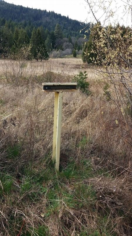
More about this marker. Marker is hard to see from the road and depending on the time of year, could be partly covered by tall grass.
Regarding Siskiyou Mountain Wagon Road. The Dollarhide Toll Road: Jesse and his sons purchased the right of way for a section of the Applegate Trail running from the foot of the mountains south of Ashland, Oregon across the Siskiyou Mountains summit and down to the village of Hornbrook, California. Although they had originally purchased the road for their own use, the roadway was to become a vital link and a primary wagon road between California and Oregon. As a family-operated toll road, it became a steady source of income to the Dollarhide family and they profited from it for some 30 years. The road was part of the same route which became the Pacific Highway, then U.S. Highway 99, and currently, Interstate 5. The Dollarhide family operated the road from 1885 to 1916, when they sold their right of way to the State of Oregon. Today, this section of Interstate 5 is still the highest and most challenging mountain pass between Canada and Mexico.
Also see . . . Jackson County Historical Markers placed by SOHS. This marker is one of a number of historical 'T' markers monumented in the 1970s and 1980s by the Southern Oregon Historical Society and also available for viewing on an interactive map (link above) (Submitted on May 28, 2019, by Douglass Halvorsen of Klamath Falls, Oregon.)
Credits. This page was last revised on May 29, 2019. It was originally submitted on January 11, 2018, by Douglass Halvorsen of Klamath Falls, Oregon. This page has been viewed 548 times since then and 73 times this year. Photos: 1, 2, 3, 4. submitted on January 11, 2018, by Douglass Halvorsen of Klamath Falls, Oregon. • Bill Pfingsten was the editor who published this page.


