3 entries match your criteria.
Related Historical Markers
Seibels House
Courtesy of Library of Congress
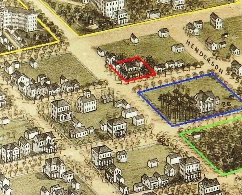
Marker detail: C. Drie's 1872 Birdseye Map of Columbia
SHOWN IN SOURCE-SPECIFIED ORDER
| | Columbia was founded as South Carolina's second capital on March 22, 1786. Brothers James and Thomas Taylor owned much of the land that comprised the original city limits, including the tract upon which the Seibels House was erected in 1796. — — Map (db m134954) HM |
| | Early homes for wealthy Columbians featured support buildings, or dependencies, including kitchen houses, carriage houses and stables, barns, and even greenhouses (outlined in yellow). Separate kitchen buildings offered fire protection for the main . . . — — Map (db m134968) HM |
| | (Front text)
This house, listed in the National Register of Historic Places and probably built during the last decade of the 18th century, is one of the few remaining houses from this era in Columbia. It was purchased prior to 1860 by the . . . — — Map (db m30419) HM |
Apr. 23, 2024