A vital link in South Carolina's internal improvements program of the 1820's, the canal stands as a monument to the following men who typified the South Carolina spirit during this first great era of public works building: William R. Davie, . . . — — Map (db m13720) HM
At several points along its path, the canal crossed natural streams flowing toward the river. To avoid damage to the fragile canal bed, the streams were channeled under the canals through culverts. This arch culvert consisted of a wing wall on the . . . — — Map (db m13740) HM
Not far from the Guardlock, the canal passed under a wooden bridge. Cut stone abutments on each bank supported the simple wooden truss structure. This was the first of four bridges that crossed the canal on it two mile path beside the river. The . . . — — Map (db m13739) HM
[Front Side]
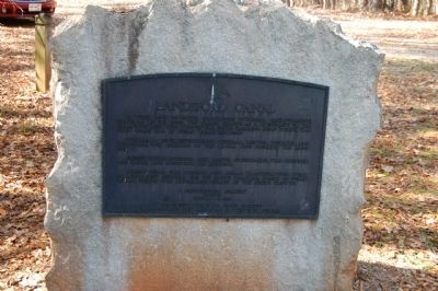
Located about 4 mi. E., this ford, an early Indian crossing, was probably named for Thomas Land who received a nearby land grant from the Crown in 1775. Used by Patriot and British armies during the American Revolution. Later . . . — — Map (db m13757) HM
A vital link in South Carolina's internal improvements program of the 1820's, the canal stands as a monument to the following men who typified the South Carolina spirit during this first great era of public works building: William R. Davie, . . . — — Map (db m13720) HM
Near its halfway point, the canal passed the mill complex built by William Richardson Davie around 1810. This mill sawed lumber and ground grain, both by use of water power. A waste weir at the entrance to the complex regulated the level of water in . . . — — Map (db m13744) HM
It is this upper section of the canal that has best survived periodic flooding in tact. The canal bed is not always straight but curves in several places to follow the contour of a natural hill. By cutting into the hill along a constant level and . . . — — Map (db m13745) HM
As a boat approached the canal traveling south on the Catawba River, the patroon, or river boat pilot, first saw the diversion dam. The dam consisted of piles of loose stone on the river bottom. The dam projected from the bank at roughly forty . . . — — Map (db m13722) HM
During the Nineteenth Century the rivers of South Carolina Piedmont were notorious for flooding. This lock was used to safely lower boats into the canal when high river levels threatened to damage the banks and structures. During periods of normal . . . — — Map (db m13723) HM