4 entries match your criteria.
Related Historical Markers
By Bill Kirchner, October 2, 2018
Old Pleasant Grove Fort Marker
SHOWN IN SOURCE-SPECIFIED ORDER
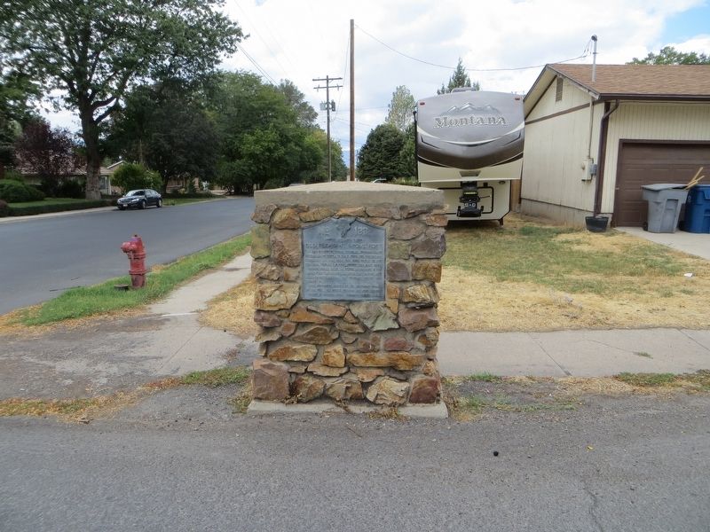
| On South 300 East at East 300 South, on the right when traveling south on South 300 East. |
| | In 1853 because of Indian troubles, Brigham Young instructed the people to build forts for protection. A two foot six inch rock wall from three to five feet high, four city blocks square, was built here.
Private homes faced the center of the . . . — — Map (db m149513) HM |
| On West 300 South at South 100 West, on the right when traveling west on West 300 South. |
| |
Fort Wall
S. W.
Corner
— — Map (db m149515) HM |
| On North 100 West at 100 North, on the right when traveling north on North 100 West. |
| |
Fort Wall
N. W.
Corner
— — Map (db m149516) HM |
| On North 300 East at East 100 North, on the left when traveling north on North 300 East. |
| |
Fort Wall
N. E.
Corner
— — Map (db m149517) HM |
Apr. 18, 2024