Twice in history the Republic mine was one of the greatest producers in the country: from 1872 to 1928 and again from the 1950’s through the ‘70’s. The late, great Republic Mine was the impetus for the creation of the village of Republic in . . . — — Map (db m154323) HM
Government land surveyors made the first recorded notice of the mineral deposit in 1846 when surveying the township lines (½ mile to the west), stating "...there appears to be an almost inexhaustible quantity of specular iron ore, the needle . . . — — Map (db m154324) HM
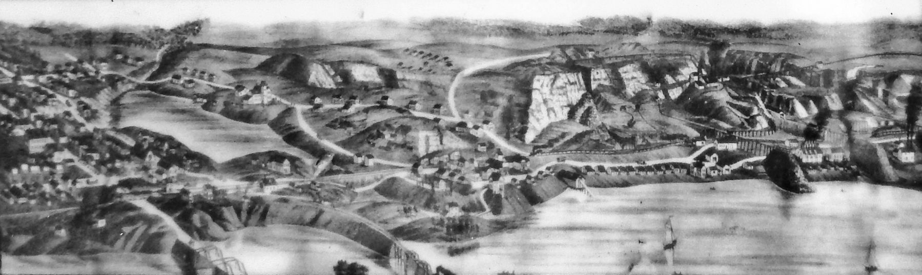
The low-grade hematitic cherty iron formation (band 3 in the diagram) provided the raw material for the production of concentrated iron ore pellets. As the depth of the pit increased, the primary crusher was installed in the 300-foot high wall (to . . . — — Map (db m154325) HM
Various underground mining occupations included trammers, teamsters, drilling teams, blasters and at the very top “miner.” Ore extraction in the 1870's was pure manual labor. The ore was broken from the surface with picks, sledge . . . — — Map (db m154326) HM
The forest industry is alive and well here at present but farming is mainly a thing of the past. When immigrants flocked to the village of Republic, they settled in separate and distinct locales — such as "French Town", "Finn Town" (Park . . . — — Map (db m154327) HM
There were advantages and disadvantages to the mine expansion and subsequent moving of Republic. In 1950 rumors circulated that the long period of mine inactivity was coming to an end. Cleveland Cliffs began a huge expansion program and . . . — — Map (db m154328) HM
Lawrence A. La Fave — August 12, 1962 Robert E. Bengtson — Nov. 7, 1962 Norman S. Korpi — Sept. 9, 1965 Ronald W. Polkki — Oct. 18, 1969 Melvin L. Roberts — Nov. 22, 1969 John Hedko Jr. — June 25, 1972 Robert W. . . . — — Map (db m154405) HM
(side 1) Near this site lived William Austin Burt, inventor, legislator, surveyor, and millwright. Born in Massachusetts in 1792, Burt settled in this area in 1824, after spending several years in Erie County, New York. There he had been a . . . — — Map (db m154165) HM