Glover Park in Northwest Washington in Washington, District of Columbia — The American Northeast (Mid-Atlantic)
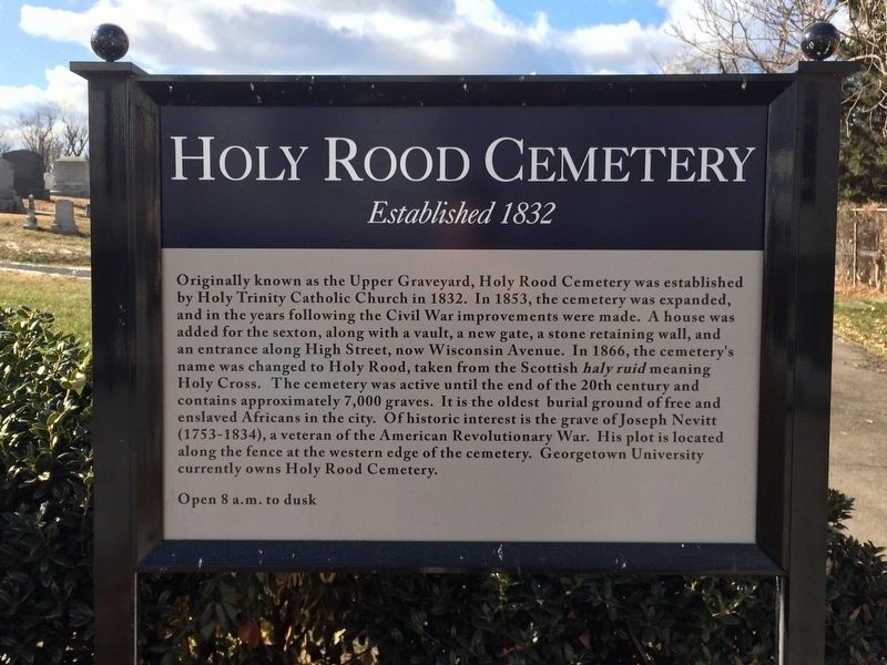
Holy Rood Cemetery
Established 1832
Originally known as the Upper Graveyard, Holy Rood Cemetery was established by Holy Trinity Catholic Church in 1832. In 1853, the cemetery was expanded, and in the years following the Civil War improvements were made. A house was added for the sexton, along with a vault, a new gate, a stone retaining wall, and an entrance along High Street, now Wisconsin Avenue. In 1866, the cemetery's name was changed to Holy Rood, taken from the Scottish haly ruid meaning Holy Cross. The cemetery was active until the end of the 20th century and contains approximately 7,000 graves. It is the oldest burial ground of free and enslaved Africans in the city. Of historic interest is the grave of Joseph Neitt (1753-1834), a veteran of the American Revolutionary War. His plot is located along the fence at the western edge of the cemetery. Georgetown University currently owns Holy Rood Cemetery.
Open 8 a.m. to dusk
Erected by Georgetown University.
Topics. This historical marker is listed in these topic lists: African Americans • Cemeteries & Burial Sites • Churches & Religion • War, US Revolutionary. A significant historical year for this entry is 1832.
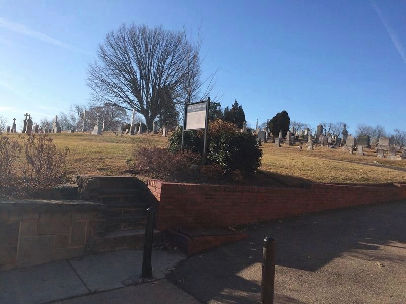
Location. This marker has been replaced by another marker nearby. It was located near 38° 55.103′ N, 77° 4.206′ W. Marker was in Northwest Washington in Washington, District of Columbia. It was in Glover Park. Marker was on Wisconsin Avenue Northwest north of 35th Street Northwest, on the left when traveling north. Touch for map. Marker was at or near this postal address: 2130 Wisconsin Avenue Northwest, Washington DC 20007, United States of America. Touch for directions.
Other nearby markers. At least 8 other markers are within walking distance of this location. A different marker also named Holy Rood Cemetery (a few steps from this marker); The Georgetown Departed (about 400 feet away, measured in a direct line); Dedication to the Dedicated (about 700 feet away); Introduction to Burleith (about 700 feet away); Mapping Art On Call (about 800 feet away); Tunlaw Road (approx. 0.2 miles away); A Rolling Tobacco Road (approx. 0.2 miles away); Famous Burleith Residents (approx. ¼ mile away). Touch for a list and map of all markers in Northwest Washington.
Related marker. Click here for another marker that is related to this marker. This marker has been replaced with the linked marker.
Credits. This page was last revised on January 30, 2023. It was originally submitted on January 1, 2018, by Devry Becker Jones of Washington, District of Columbia. This page has been viewed 313 times since then and 18 times this year. Photos: 1. submitted on January 1, 2018, by Devry Becker Jones of Washington, District of Columbia. 2. submitted on January 27, 2018, by Devry Becker Jones of Washington, District of Columbia. • Bill Pfingsten was the editor who published this page.

