Woodville in Sandusky County, Ohio — The American Midwest (Great Lakes)
Woodville “The Lime Center of the World” / Maumee and Western Reserve Turnpike
Inscription.
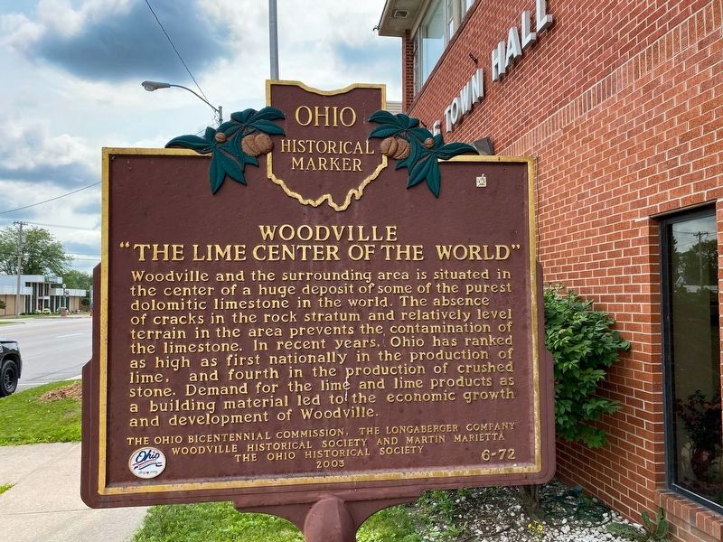
Woodville “The Lime Center of the World.” Woodville and the surrounding area is situated in the center of a huge deposit of some of the purest dolomitic limestone in the world. The absence of cracks in the rock stratum and relatively level terrain in the area prevents the contamination of the limestone. In recent years, Ohio has ranked as high as first nationally in the production of lime, and fourth in the production of crushed stone. Demand for the lime and lime products as a building material led to the economic growth and development of Woodville.
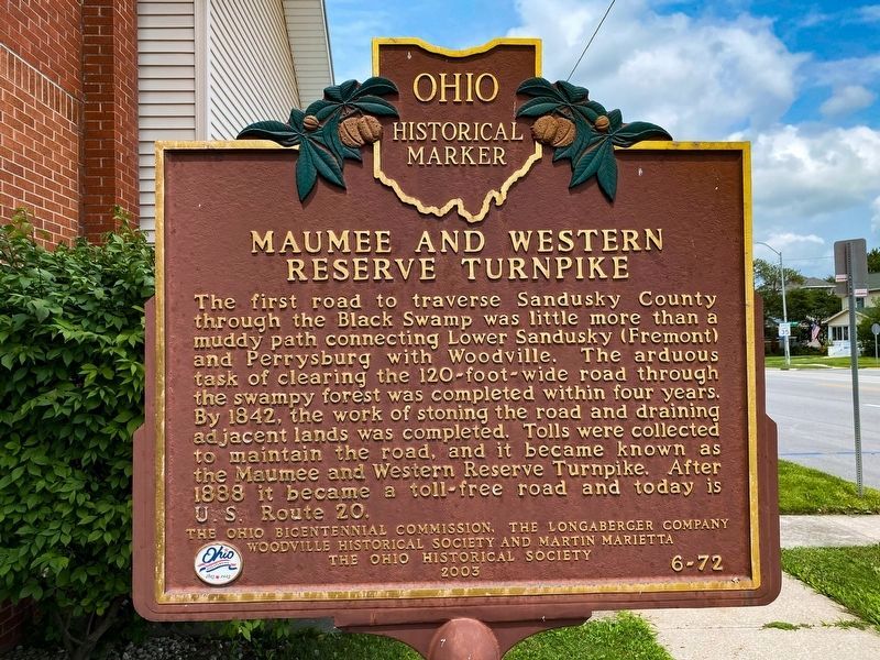
Maumee and Western Reserve Turnpike. The first road to traverse Sandusky County through the Black Swamp was little more than a muddy path connecting Lower Sandusky (Fremont) and Perrysburg with Woodville. The arduous task of clearing the 120-foot-wide road through the swampy forest was completed within four years. By 1842, the work of stoning the road and draining adjacent lands was completed. Tolls were collected to maintain the road, and it became known as the Maumee and Western Reserve Turnpike. After 1888 it became a toll-free road and today is U.S. Route 20.
Erected 2003 by The Ohio Bicentennial Commission, the Longaberger Company, Woodville Historical Society, Martin Marietta, The Ohio Historical Society. (Marker Number 6-72.)
Topics and series. This historical marker is listed in these topic lists: Environment • Natural Features • Natural Resources. In addition, it is included in the Ohio Historical Society / The Ohio History Connection series list. A significant historical year for this entry is 1842.
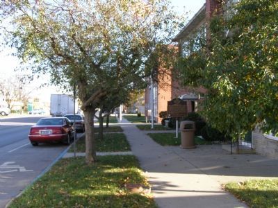
Location. 41° 27.066′ N, 83° 21.877′ W. Marker is in Woodville, Ohio, in Sandusky County. Marker is on U.S. 20 near Pine Road. Located on the south side of US 20, Main Street or MacPherson Highway, in front of Town Hall. Touch for map. Marker is in this post office area: Woodville OH 43469, United States of America. Touch for directions.
Other nearby markers. At least 8 other markers are within walking distance of this marker. Town Hall Bell (within shouting distance of this marker); Christopher C. Layman Law Office (about 500 feet away, measured in a direct line); Milestones (about 500 feet away); Colonel Charles L. Meyer (about 600 feet away); Woodville World War I Memorial
(about 600 feet away); Solomon Lutheran School (about 600 feet away); Phyllis C. Schnoor Ameling (about 700 feet away); Trail Tree (approx. 0.2 miles away). Touch for a list and map of all markers in Woodville.
Related marker. Click here for another marker that is related to this marker. To better understand the relationship, study each marker in the order shown.
Credits. This page was last revised on October 6, 2021. It was originally submitted on December 7, 2007, by Christopher Light of Valparaiso, Indiana. This page has been viewed 3,283 times since then and 58 times this year. Photos: 1. submitted on October 1, 2021, by J.T. Lambrou of New Boston, Michigan. 2. submitted on December 7, 2007, by Christopher Light of Valparaiso, Indiana. 3. submitted on October 1, 2021, by J.T. Lambrou of New Boston, Michigan. 4, 5, 6, 7. submitted on December 7, 2007, by Christopher Light of Valparaiso, Indiana. • J. J. Prats was the editor who published this page.
