Oak Island in Brunswick County, North Carolina — The American South (South Atlantic)
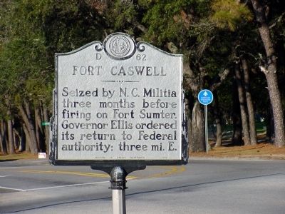
Fort Caswell
Erected 1969 by Archives and Highway Departments. (Marker Number D-62.)
Topics and series. This historical marker is listed in these topic lists: Forts and Castles • War, US Civil. In addition, it is included in the North Carolina Division of Archives and History series list.
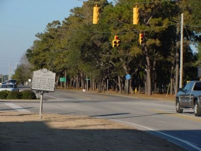
Location. 33° 54.517′ N, 78° 4.417′ W. Marker is on Oak Island, North Carolina, in Brunswick County. Marker is at the intersection of Country Club Road (State Highway 133) and Yaupon Drive, on the right when traveling south on Country Club Road. Touch for map. Marker is in this post office area: Oak Island NC 28465, United States of America. Touch for directions.
Other nearby markers. At least 8 other markers are within 4 miles of this marker, measured as the crow flies. Hurricane Hazel (approx. 0.2 miles away); Robert C. Ruark (approx. 3.1 miles away); Indian Trail Tree (approx. 3.1 miles away); Robert Ruark (approx. 3.2 miles away); Catalino Tingzon (approx. 3.2 miles away); Southport’s First Fire Alarm (approx. 3.2 miles away); Franklin Square (approx. 3.2 miles away); Mrs. Jessie Stevens Taylor (approx. 3.3 miles away).
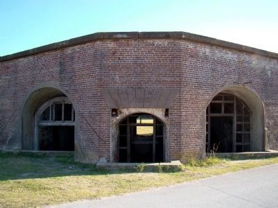
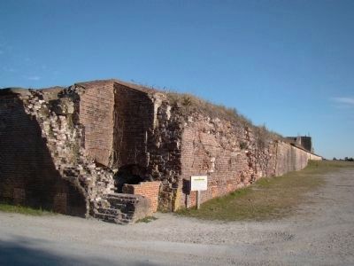
Regarding Fort Caswell. Fort Caswell is now on the grounds of the North Carolina Baptist Assembly and is used for youth summer camp and youth and adult retreats. When there are no large events in progress visitors can drive through the grounds, park, and climb around the fort and other structures. A day pass, good until 5 PM is $3 per person. To reach the fort, continue south on Country Club Road, which will turn east and become Caswell Beach Road. The Assembly grounds begin at the end of the road, at a gatehouse.
Credits. This page was last revised on June 16, 2016. It was originally submitted on February 29, 2008, by J. J. Prats of Powell, Ohio. This page has been viewed 2,797 times since then and 31 times this year. Photos: 1, 2. submitted on February 29, 2008, by J. J. Prats of Powell, Ohio. 3, 4, 5. submitted on February 21, 2009, by J. J. Prats of Powell, Ohio.


