West Haverstraw in Rockland County, New York — The American Northeast (Mid-Atlantic)
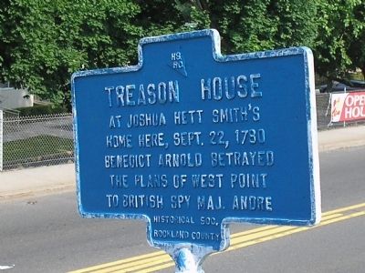
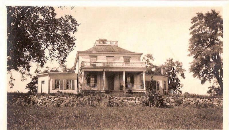
Treason House
At Joshua Hett Smith’s home here, Sept. 22, 1780 Benedict Arnold betrayed the plans of West Point to British spy Maj. Andre[.]
Erected 1966 by Historical Society of Rockland County.
Topics and series. This historical marker is listed in these topic lists: Military • Notable Events • War, US Revolutionary. In addition, it is included in the New York, Historical Society of Rockland County series list. A significant historical month for this entry is September 1848.
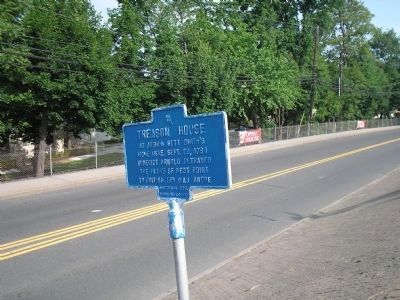
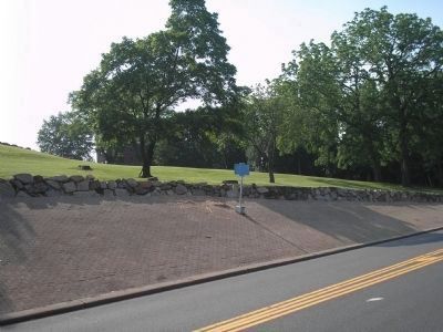
Location. 41° 13.072′ N, 73° 59.188′ W. Marker is in West Haverstraw, New York, in Rockland County. Marker is on S Liberty Drive (U.S. 9W), on the left when traveling north. Marker is located in front of the service department of the Ford dealership, south of the Helen Hayes Hospital. Touch for map. Marker is in this post office area: West Haverstraw NY 10993, United States of America. Touch for directions.
Other nearby markers. At least 8 other markers are within walking distance of this marker. Washington Tree (within shouting distance of this marker); Col. A. H. Hay (approx. ¼ mile away); Stony Point 9-11 Memorial (approx. 0.6 miles away); Stony Point Cannon Memorial (approx. 0.6 miles away); Stony Point Veterans Monument (approx. 0.6 miles away); a different marker also named Stony Point Veterans Monument (approx. 0.6 miles away); Calico Hill (approx. 0.6 miles away); James A. Farley Memorial Bridge (approx. 0.7 miles away).
Related marker. Click here for another marker that is related to this marker. A Marker at the Treason Site.
Also see . . .
1. Joshua Hett Smith House. Wikipedia entry (Submitted on August 10, 2022, by Larry Gertner of New York, New York.)
2. The Treason of General Benedict Arnold. Portraits in Revolution website entry (Submitted on June 9, 2008, by Bill Coughlin of Woodland Park, New Jersey.)
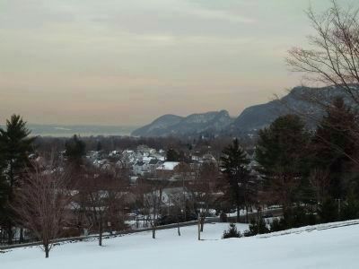
Photographed By John Intile, February 17, 2011
5. Haverstaw Bay as it would have been seen the Treason House
This photograph shows Haverstaw Bay as it would have been seen from the Smith's house (the Treason House). It was from that window that Andre and Arnold watched with horror as American artillery officer, Colonel James Livingston stationed on Teller's Point, unexpectedly and, acting on his own good judgment, began firing on the Vulture thus forcing the ship to weigh anchor and sail South and out of range of the bombardment, and out of reach of Andre. This brave decision by an American officer to take resolute action when it was required represents another fateful decision in the Arnold-Andre conspiracy that had world-changing and irreversible consequences.
Credits. This page was last revised on August 13, 2022. It was originally submitted on June 9, 2008, by Bill Coughlin of Woodland Park, New Jersey. This page has been viewed 5,667 times since then and 207 times this year. Last updated on January 26, 2021, by Carl Gordon Moore Jr. of North East, Maryland. Photos: 1. submitted on June 9, 2008, by Bill Coughlin of Woodland Park, New Jersey. 2. submitted on August 10, 2022, by Larry Gertner of New York, New York. 3, 4. submitted on June 9, 2008, by Bill Coughlin of Woodland Park, New Jersey. 5. submitted on March 2, 2011, by John Intile of Toms River, New Jersey. • J. Makali Bruton was the editor who published this page.
