Near Broad Run in Prince William County, Virginia — The American South (Mid-Atlantic)
Chapman's Mill
Heart of the Battle of Thoroughfare Gap
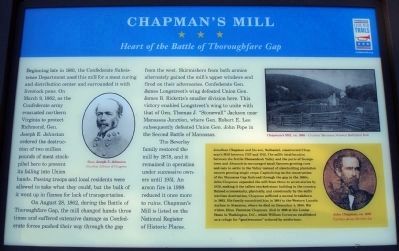
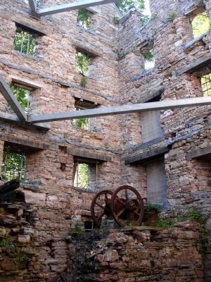
On August 28, 1862, during the Battle of Thoroughfare Gap, the mill changed hands three times and suffered extensive damage as Confederate forces pushed their way through the gap from the west. Skirmishers from both armies alternately gained the mill's upper windows and fired on their adversaries. Confederate Gen. James Longstreet’s wing defeated Union Gen. James B. Ricketts’s smaller division here. This victory enabled Longstreet’s wing to unite with that of Gen. Thomas J. “Stonewall” Jackson near Manassas Junction, where Gen. Robert E. Lee subsequently defeated Union Gen. John Pope in the Second Battle of Manassas.
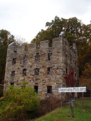
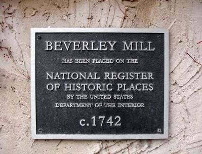
The Beverley family restored the mill by 1878, and it remained in operation under successive owners until 1951. An arson fire in 1998 reduced it once more to ruins. Chapman’s Mill is listed on the National Register of Historic Places.
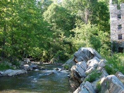
(Sidebar): Jonathan Chapman and his son, Nathaniel, constructed Chapman’s Mill between 1737 and 1742. The mill’s ideal location between the fertile Shenandoah Valley and the ports of Georgetown and Alexandria encouraged small farmers growing corn and oats to settle in the Valley instead of slaveholding plantation owners growing single crops. Capitalizing on the construction of the Manassas Gap Railroad through the gap in the 1850s, John Chapman expanded the mill from three to seven stories by 1858, making it the tallest stacked-stone building in the country. Ruined economically, physically, and emotionally by the mill’s wartime destruction, Chapman suffered a mental breakdown in 1862. His family committed him in 1864 to the Western Lunatic Asylum in Staunton, where he died on December 4, 1866. His widow, Ellen Thornton Chapman, died in 1916 at the Louise Home in Washington, D.C., which William Corcoran established as a refuge for “gentlewomen” reduced by misfortune.
Gen. Joseph E. Johnston
Courtesy Library of Congress
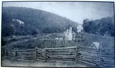
Chapman's Mill, ca. 1889 - Courtesy Manassas National Battlefield Park
John Chapman, ca. 1859
Courtesy James Strother Lee
Erected by Virginia Civil War Trails
.
Topics and series. This historical marker is listed in these topic lists: Notable Buildings • War, US Civil. In addition, it is included in the Virginia Civil War Trails series list. A significant historical year for this entry is 1861.
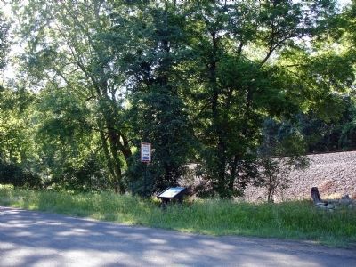
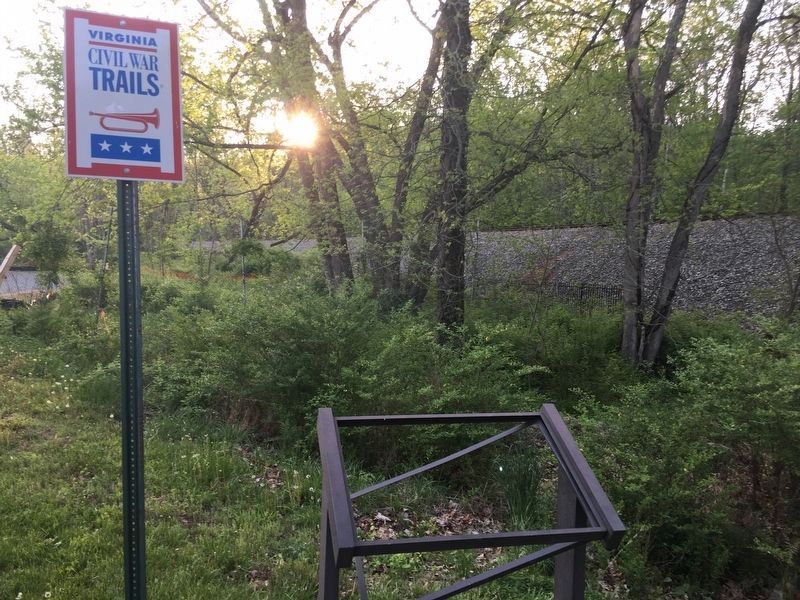
Location. This marker has been replaced by another marker nearby. It was located near 38° 49.483′ N, 77° 42.401′ W. Marker was near Broad Run, Virginia, in Prince William County. Marker was on Beverley Mill Drive, on the right when traveling west. Marker is located just past the Bull Run Mountain Conservancy's Mountain House just before gated entrance to Chapman's Mill. Touch for map. Marker was at or near this postal address: 17502 Beverley Mill Dr, Broad Run VA 20137, United States of America. Touch for directions.
Other nearby markers. At least 8 other markers are within 2 miles of this location, measured as the crow flies. A different marker also named Chapman's Mill (here, next to this marker); Bull Run Mountains Natural Area Preserve (within shouting distance of this marker); Thoroughfare Gap (approx. ¼ mile away); a different marker also named Thoroughfare Gap (approx. ¼ mile away); Campaign of Second Manassas (approx. ¼ mile away); Heflin's Store (approx. 1.4 miles away); Free People Of Color At Thoroughfare (approx. 1.6 miles away); The Thoroughfare Colored / North Fork School (approx. 1.8 miles away). Touch for a list and map of all markers in Broad Run.
More about this marker. On the left side of the marker is a portrait captioned Gen. Joseph E. Johnston Courtesy Library of Congress and on the upper right is a photo captioned Chapman's Mill, ca. 1889 – Courtesy Manassas National Battlefield Park. The sidebar displays a portrait captioned John Chapman, ca. 1859 Courtesy James Strother Lee.
Related marker. Click here for another marker that is related to this marker. This marker has been replaced with the linked marker which has different content.
Also see . . .
1. Chapman's Mill. (Submitted on May 30, 2010.)
2. The Battle of Thoroughfare Gap. Civil War Preservation Trust (Submitted on May 30, 2010.)
3. Thoroughfare Gap Battlefield. The Journey Through Hallowed Ground (Submitted on May 30, 2010.)
Credits. This page was last revised on January 2, 2021. It was originally submitted on May 30, 2010. This page has been viewed 2,621 times since then and 31 times this year. Last updated on September 23, 2020. Photos: 1, 2, 3, 4, 5, 6, 7, 8. submitted on May 30, 2010. 9. submitted on April 30, 2017, by William Glahn of Winchester, Virginia. 10. submitted on May 30, 2010. • J. Makali Bruton was the editor who published this page.
