Broad Run in Fauquier County, Virginia — The American South (Mid-Atlantic)
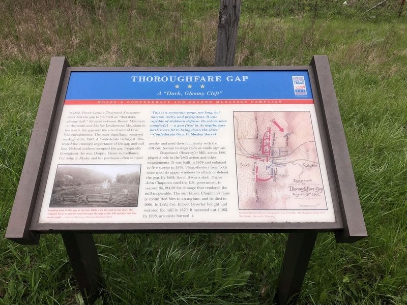
Thoroughfare Gap
A "Dark, Gloomy Cleft"
— Mosby's Confederacy and Second Manassas Campaign —
In 1862, Frank Leslie's Illustrated Newspaper described the gap to your left as "that dark, gloomy cleft." Situated between Biscuit Mountain on the south and Mother Leathercoat Mountain to the north, the gap was the site of several Civil War engagements. The most significant occurred on August 28, 1862. A Confederate victory, it illustrated the strategic importance of the gap and rail line. Federal soldiers occupied the gap frequently throughout the war. Despite Union surveillance, Col. John S. Mosby and his partisans often camped nearby and used their familiarity with the difficult terrain to stage raids on evade capture.
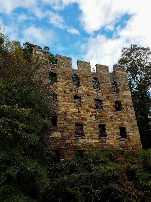
Chapman's (Beverly's) Mill, across I-66 played a role in the 1862 action and other engagements. It was built in 1859 and enlarged to five stories in 1858. Sharpshooters from both sides used its upper windows to attack or defend the gap. By 1864, the mill was a shell. Owner John Chapman sued the U.S. government to recover $5,194.59 for damage that rendered the mill inoperable. The suit failed, Chapman's family committed him to an asylum, and he died in 1866. In 1870, Col. Robert Robert Beverly bought and restored the mill in 1870. It operated until 1951. In 1998, arsonists burned it.
"This is a mountain gorge, not long, but narrow, rocky, and precipitous. It was capable of stubborn defense. Its echoes were wonderful — a gun fired in the depths gave forth roars fit to bring down the skies."
— Confederate Gen. G. Moxley Sorrel
Erected by Virginia Civil War Trails.
Topics. This historical marker is listed in this topic list: War, US Civil. A significant historical date for this entry is August 28, 1862.
Location. 38° 49.412′ N, 77° 42.655′ W. Marker is in Broad Run, Virginia, in Fauquier County. Marker is on John Marshall Highway (Virginia Route 55) 0.1 miles Beverleys Mill Road (County Road 600), on the right when traveling west. Touch for map. Marker is at or near this postal address: 17504 Beverly Mill Dr, Broad Run VA 20137, United States of America. Touch for directions.
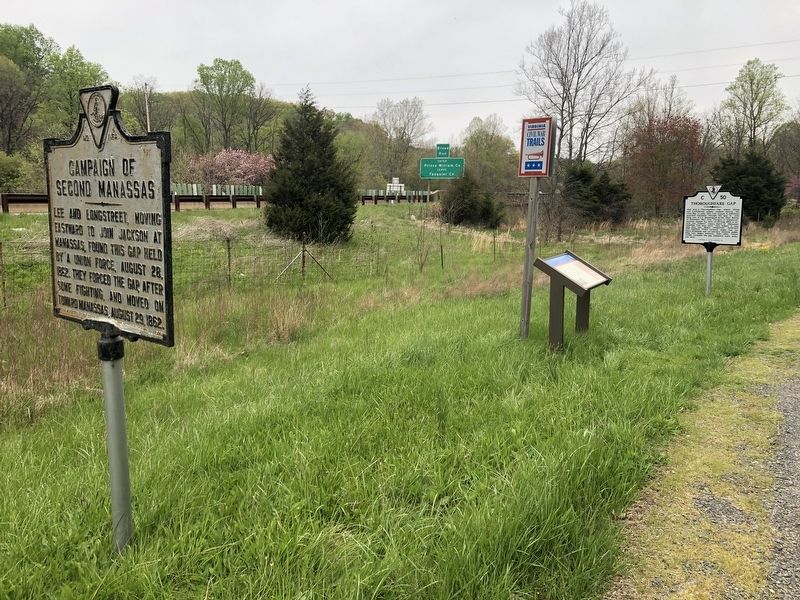
Other nearby markers. At least 8 other markers are within 2 miles of this marker, measured as the crow flies. Campaign of Second Manassas (here, next to this marker); a different marker also named Thoroughfare Gap (here, next to this marker); Chapman's Mill (approx. ¼ mile away); Bull Run Mountains Natural Area Preserve (approx. ¼ mile away); Heflin's Store (approx. 1.1 miles away); Free People Of Color At Thoroughfare (approx. 1.9 miles away); The Thoroughfare Colored / North Fork School (approx. 2 miles away); Water Fowl And Their Habitat (approx. 2 miles away). Touch for a list and map of all markers in Broad Run.
Related marker. Click here for another marker that is related to this marker.
Credits. This page was last revised on May 2, 2021. It was originally submitted on May 1, 2021, by Devry Becker Jones of Washington, District of Columbia. This page has been viewed 421 times since then and 42 times this year. Photos: 1, 2. submitted on May 1, 2021, by Devry Becker Jones of Washington, District of Columbia. 3. submitted on May 1, 2021, by Bradley Owen of Morgantown, West Virginia.


