Falmouth in Stafford County, Virginia — The American South (Mid-Atlantic)
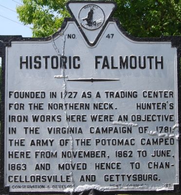
Historic Falmouth
Erected 1927 by Conservation & Development Commission. (Marker Number E-47.)
Topics. This historical marker is listed in this topic list: Settlements & Settlers. A significant historical month for this entry is June 1863.
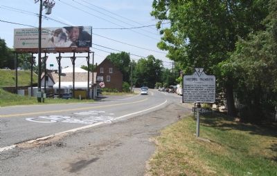
Location. This marker has been replaced by another marker nearby. It was located near 38° 19.387′ N, 77° 28.162′ W. Marker was in Falmouth, Virginia, in Stafford County. Marker was on West Cambridge Street, on the right when traveling south. Touch for map. Marker was at or near this postal address: 123 W Cambridge St, Fredericksburg VA 22405, United States of America. Touch for directions.
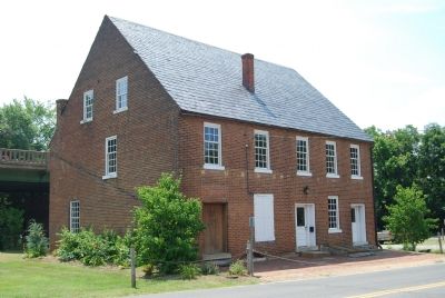
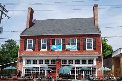
Other nearby markers. At least 8 other markers are within walking distance of this location. Magistrateís Office (here, next to this marker); a different marker also named Historic Falmouth (here, next to this marker); Flood of 1937 (a few steps from this marker); On this site in 1862... (about 600 feet away, measured in a direct line); Conway House (about 600 feet away); Moncure Conway House (about 600 feet away); The Forlorn Hope (about 700 feet away); A Sad Duty to Perform (about 700 feet away). Touch for a list and map of all markers in Falmouth.
Related marker. Click here for another marker that is related to this marker. This marker has been replaced with the linked marker.
Also see . . . The Town Plan of Falmouth. (Submitted on July 14, 2007, by Dawn Bowen of Fredericksburg, Virginia.)
Credits. This page was last revised on July 9, 2021. It was originally submitted on July 14, 2007, by Dawn Bowen of Fredericksburg, Virginia. This page has been viewed 1,590 times since then and 42 times this year. Photos: 1, 2, 3, 4. submitted on July 14, 2007, by Dawn Bowen of Fredericksburg, Virginia. • J. J. Prats was the editor who published this page.


