Ormond Beach in Volusia County, Florida — The American South (South Atlantic)
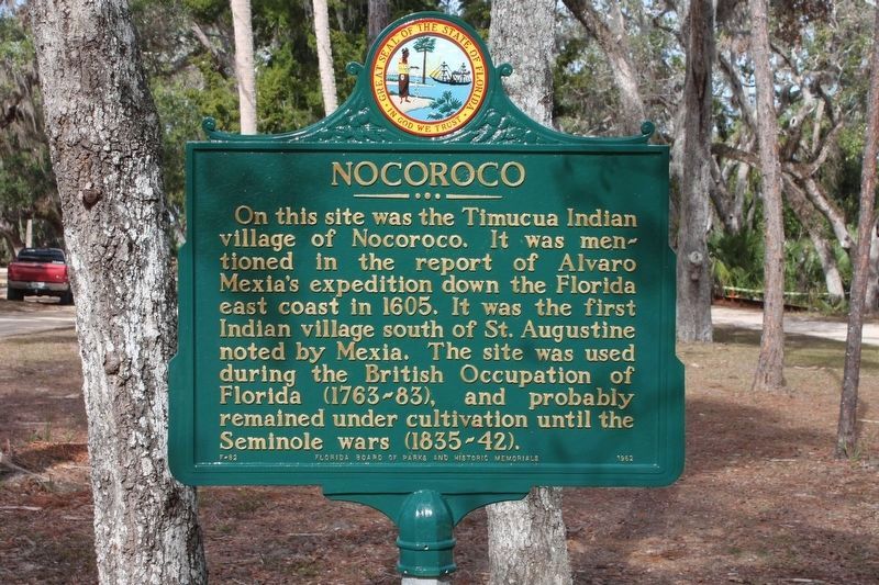
Nocoroco
Erected 1962 by Florida Board of Parks and Historic Memorials. (Marker Number F-82.)
Topics. This historical marker is listed in these topic lists: Native Americans • Notable Places. A significant historical year for this entry is 1605.
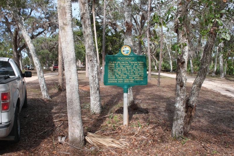
Location. 29° 21.25′ N, 81° 5.383′ W. Marker is in Ormond Beach, Florida, in Volusia County. Marker can be reached from North Beach Street, in the median. This marker is on the interior of a loop at the northernmost point (dead end) of the main road inside Tomoka State Park. From the park entrance (2099 N Beach Street, Ormond Beach, FL) follow the main park road north to its end. Touch for map. Marker is at or near this postal address: 2099 North Beach Street, Ormond Beach FL 32174, United States of America. Touch for directions.
Other nearby markers. At least 8 other markers are within 5 miles of this marker, measured as the crow flies. The Timucua (within shouting distance of this marker); Mount Oswald Plantation (within shouting distance of this marker); Tomoka Point (about 600 feet away, measured in a direct line); Dummitt Plantation Mill Ruins (approx. one mile away); World War II Coastal Watch Tower (approx. 1.6 miles away); Old King's Road (approx. 2.3 miles away); Ormond Tomb (approx. 3.3 miles away); First Christian Marriage In North America (approx. 4.4 miles away). Touch for a list and map of all markers in Ormond Beach.
Regarding Nocoroco. A handout provided by the Park indicates Nocoroco was inhabited by the Middle Archaic peoples as early as 5000 B.C. It was an excellent site for a village because of the fish and shellfish found in the lagoons on either side of the peninsula on which the village was built.
Also see . . . Tomoka State Park web site. (Submitted on July 29, 2009.)
Credits. This page was last revised on November 14, 2022. It was originally submitted on July 26, 2009. This page has been viewed 1,870 times since then and 43 times this year. Last updated on November 14, 2022. Photos: 1, 2. submitted on March 27, 2017, by Tim Fillmon of Webster, Florida. • Bernard Fisher was the editor who published this page.

