Highlands in Monmouth County, New Jersey — The American Northeast (Mid-Atlantic)
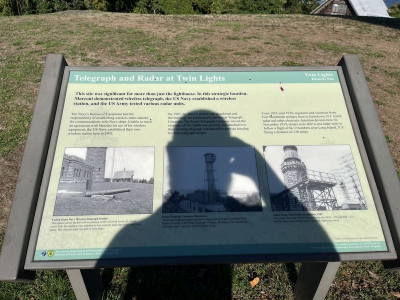
Telegraph and Radar at Twin Lights
Twin Lights Historic Site

Photographed By Devry Becker Jones (CC0), October 15, 2022
1. Telegraph and Radar at Twin Lights Marker
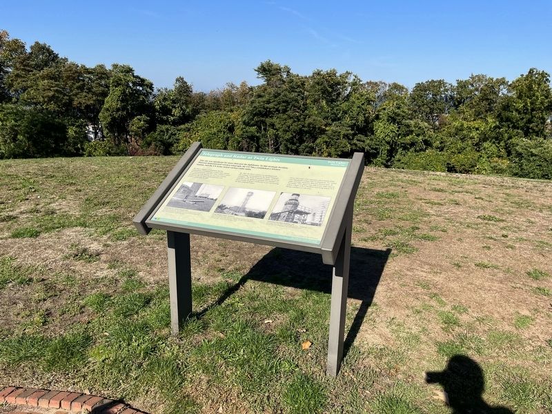
This site was significant for more than just the lighthouse. In this strategic location, Marconi demonstrated wireless telegraph, the US Navy established a wireless station, and the US Army tested various radar units.
The Navy's Bureau of Equipment had the responsibility of establishing wireless radio stations for communications with Navy ships. Unable to reach an agreement with Marconi for use of his wireless equipment, the US Navy established their own wireless station here in 1902.
By 1907, the Navy's station was abandoned and the building was purchased by the Postal Telegraph Company. The Postal Telegraph Company moved the structure off the lighthouse ground and attached it to their existing telegraph watchtower to provide housing for their telegraph keeper.
From 1932 until 1939, engineers and scientists from Fort Monmouth military base in Eatontown, N.J. tested radar and other electronic detection devises here. In November 1939, testers were able to use radar units to follow a flight of B-17 bombers over Long Island, N.Y. flying a distance of 138 miles.
[Captions:]
United States Navy Wireless Telegraph Station
This station sat on the hill with its antenna on the old north tower site. Guide wires from the antenna were attached to four concrete pads that helped hold it in place. The concrete pads can still be seen today.
Postal Telegraph Company Watchtower
The Postal Telegraph keeper reported on ships passing in and out of New York Harbor to clients of the Postal Telegraph Company. The base of the watchtower still exists today - just over the hill in front of you.
United States Army Radar Installation, 1939
This image shows the control room and radar sets SCR - 270 and SCR - 271 used for these tests situated next to the north lighthouse tower.
Erected by New Jersey Department of Environmental Protection, Division of Parks and Forestry, State Parks Service.
Topics. This historical marker is listed in these topic lists: Communications • Industry & Commerce • Military • Waterways & Vessels. A significant historical month for this entry is November 1939.
Location. 40° 23.813′ N, 73° 59.14′ W. Marker is in Highlands, New Jersey, in Monmouth County. Marker can be reached from Light House Road, 0.1 miles south of Twinlights Tower, on the left when traveling south. Touch for map. Marker is at or near this postal address: 13A Light House Rd, Highlands NJ 07732, United States of America. Touch for directions.
Other nearby markers. At least 8 other markers are within walking distance of this marker. From the Navesink Highlands (a few steps from this marker); The Old North Tower (a few steps from this marker);

Photographed By Devry Becker Jones (CC0), October 15, 2022
2. Telegraph and Radar at Twin Lights Marker
Related marker. Click here for another marker that is related to this marker. This marker has replaced the linked marker.
Credits. This page was last revised on October 19, 2022. It was originally submitted on October 19, 2022, by Devry Becker Jones of Washington, District of Columbia. This page has been viewed 74 times since then and 13 times this year. Photos: 1, 2. submitted on October 19, 2022, by Devry Becker Jones of Washington, District of Columbia.