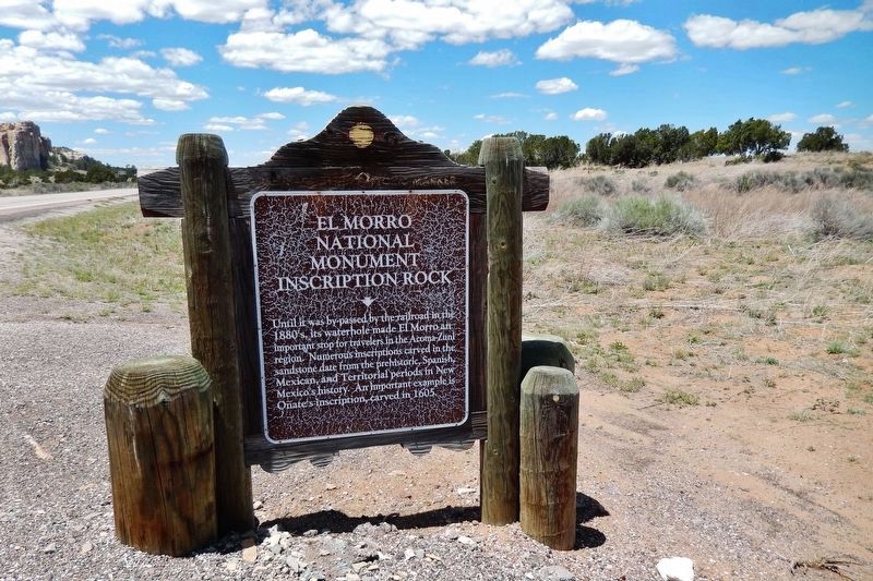
Until it was by-passed by the railroad in the
1880’s, its waterhole made El Morro an
important stop for travelers in the Acoma-
Zuni region. Numerous inscriptions carved
in the sandstone date from the prehistoric,
Spanish, Mexican, and . . . — — Map (db m14129) HM
Pioneer in the path of empire hero of the War with Mexico, lieutenant in United States Navy. Appointed general by the Governor of California. Commanded exploration of wagon route to the Colorado River, with the only camel train in American History . . . — — Map (db m32208) HM
Pioneer in the path of empire hero of the War with Mexico, lieutenant in United States Navy. Appointed general by the Governor of California. Commanded exploration of wagon route to the Colorado River, with the only camel train in American History . . . — — Map (db m32208) HM
From 1857 to 1860 Lt. Edward F. Beale and a crew of 100 men built the first federal highway in the southwest. The 1857 Beale Expedition used 22 camels and dromedaries for pack animals. This road went from Fort Smith, Arkansas to Los Angeles, . . . — — Map (db m32206) HM
In 1855 Congress authorized $30,000 for camels as frontier military beast of burden because of their adaptability to desert heat, drought, and food.
Lt. Edward F. Beale surveyed the wagon route from Fort Defiance, New Mexico, to the Colorado . . . — — Map (db m32822) HM
This military post was established by the United States Army on June 24, 1854, to suppress stock rustling and for the protection of Indians in the San Joaquin Valley. As regimental headquarters of the First Dragoons, Fort Tejón was an important . . . — — Map (db m117523) HM
Jefferson Davis, “Father of National Highways,” as Secretary of War 1853-57 sponsored the importation of 33 camels for transporting military supplies to the west coast. The camel trail survey ran from San Antonio, Texas to Fort Tejon which marks the . . . — — Map (db m32823) HM
This block is the site of:
First brick school house in Los Angeles known as School No. 1, built 1854-1855;
Butterfield Overland Mail Company office and corral, 1858-1861;
Office of U.S. Quartermaster, 1861;
Corral for camels from Fort . . . — — Map (db m164547) HM
These finely crafted sandstone buildings were originally constructed for use as warehouses. They gained their name and fame, however, during a brief period in 1863-64 when they were used to stable a herd of camels imported by the U.S. Army for . . . — — Map (db m155174) HM