3 entries match your criteria.
Related Historical Markers
Oñate's subjugation of Acoma Pueblo earned him an official hearing in Spain
By Julie Szabo, February 12, 2008
Side 2 Of Marker
SHOWN IN SOURCE-SPECIFIED ORDER
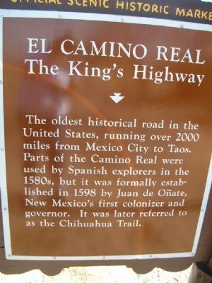
| | Juan de Oñate, first governor of New Mexico, passed near here with his colonizing expedition in May, 1598. Traveling north, he designated official campsites (called parajes) on the Camino Real, used by expeditions that followed. In Oñate's . . . — — Map (db m6549) HM |
| | Until it was by-passed by the railroad in the
1880’s, its waterhole made El Morro an
important stop for travelers in the Acoma-
Zuni region. Numerous inscriptions carved
in the sandstone date from the prehistoric,
Spanish, Mexican, and . . . — — Map (db m14129) HM |
| | Legend describes Acoma as a "place that always was". Archaeological evidence shows it has been occupied since at least the 13th century. Established on this
mesa for defensive purposes, Acoma was settled by inhabitants of nearby pueblos which had . . . — — Map (db m30263) HM |
Apr. 25, 2024