Near Prescott in Yavapai county, Arizona — The American Mountains (Southwest)
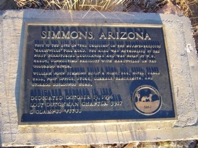
Simmons, Arizona
William John Simmons built a home, bar, hotel, dance hall, post office, store, corrals, blacksmith, and storage buildings here.
Erected 1996 by Lost Dutchman Chapter 5917, E Clampus Vitus.
Topics and series. This historical marker is listed in these topic lists: Notable Places • Roads & Vehicles. In addition, it is included in the E Clampus Vitus series list.
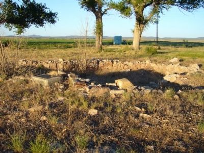
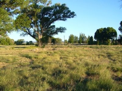
Location. 34° 48.911′ N, 112° 37.971′ W. Marker is near Prescott in Yavapai county, Arizona. Marker can be reached from Williamson Valley Road (at milepost 21) near West Mint Wash Pass Road. Marker is in a field about 600 feet west of the pavement under some large trees. However, this area seems to be located within a private property, with NO TRESPASSING signs posted at the highway. Touch for map. Marker is in this post office area: Prescott AZ 86301, United States of America. Touch for directions.
Other nearby markers. At least 1 other marker is within 10 miles of this marker, measured as the crow flies. Del Rio Springs (approx. 9.9 miles away).
Related marker. Click here for another marker that is related to this marker.
Credits. This page was last revised on June 16, 2016. It was originally submitted on July 16, 2010, by Bill Kirchner of Tucson, Arizona. This page has been viewed 2,176 times since then and 60 times this year. Last updated on March 27, 2014, by Frank Gutierrez of Prescott Valley, Arizona. Photos: 1, 2, 3. submitted on July 16, 2010, by Bill Kirchner of Tucson, Arizona. • Bill Pfingsten was the editor who published this page.


