2 entries match your criteria.
Related Historical Markers
By Bryan R. Bauer, August 24, 2010
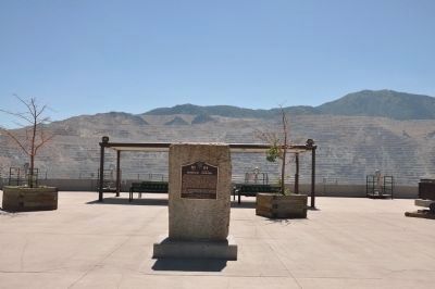
Bingham Canyon Marker and Top of Open-Pit Mine
SHOWN IN SOURCE-SPECIFIED ORDER
| 1 ► Utah, Salt Lake County, Copperton, Bingham Canyon — 114 — Bingham Canyon — |
| Bingham Canyon was named for Erastus Bingham and sons, Sanford and Thomas, Utah Pioneers of 1847, who in 1848 took up grazing land in this vicinity, first for private herds and later as a community enterprise. They built a small cabin at the mouth . . . — — Map (db m35228) HM | |||
| 2 ► Utah, Salt Lake County, Bingham Canyon — The Town of Bingham Canyon — |
| The history of the town began in August 1848 when two young Mormon pioneers, Sanford and Thomas Bingham, settled in this narrow wilderness canyon to herd cattle. Within a few years the area became a supplier of timber for local saw mills. Much of . . . — — Map (db m1365) HM | |||