Germanna Ford
Into the Wilderness
— Lee vs. Grant - The 1864 Campaign —
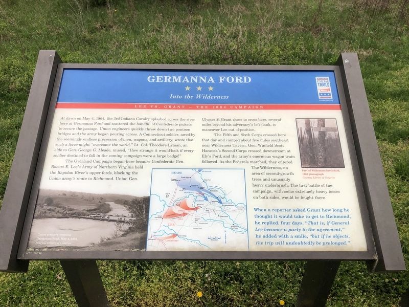
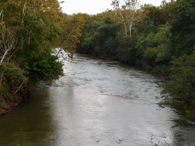
At dawn on May 4, 1864, the 3rd Indiana Cavalry splashed across the river here at Germanna Ford and scattered the handful of Confederate pickets to secure the passage. Upon engineers quickly threw down two pontoon bridges and the army began pouring across. A Connecticut soldier, awed by the seemingly endless procession of men, wagons, and artillery, wrote that such a force might "overcome the world." Lt. Col. Theodore Lyman, an aide to Gen. George G. Meade, mused, "How strange it would look if every soldier destined to fall in the coming campaign wore a large badge!"
The Overland Campaign began here becasue Confederate Gen. Robert E. Lee's Army of Northern Virginia held the Rapidan River's upper fords, blocking the Union army's route to Richmond. Union Gen. Ulysses S. Grant chose to cross here, several miles beyond his adversary's left flank, to maneuver Lee out of position.
The Fifth and Sixth Corps crossed here that day and camped about five miles southeast near Wilderness Tavern. Gen. Winfield Scott Hancock's Second Corps crossed downstream at Ely's Ford, and the army's enormous wagon train followed. As the Federals marched, they entered The Wilderness, an area of second-growth trees and unusually heavy underbrush. The first battle of the campaign, with some extremely heavy losses on both sides, would be fought there.
When a reporter asked Grant how long he thought it would take to get to Richmond, he replied four days. "That is, if General Lee becomes a party to the agreement," he added with a smile, "but if he objects, the trip will undoubtedly be prolonged."
Erected by Virginia Civil War Trails.
Topics and series. This historical marker is listed in these topic lists: War, US Civil • Waterways & Vessels. In addition, it is included in the Former U.S. Presidents: #18 Ulysses S. Grant, and the Virginia Civil War Trails series lists. A significant historical date for this entry is May 4, 1864.
Location. 38° 22.661′ N, 77° 46.962′ W. Marker is in Locust Grove, Virginia, in Orange County. Marker is on College Drive (Virginia Route 375) 0.2 miles west of Germanna Highway (Virginia Route 3), on the right when traveling east. Touch for map. Marker is at or near this postal address: 2062 Germanna Hwy, Locust Grove VA 22508, United States of America. Touch for directions.
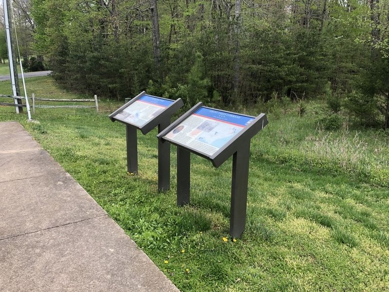
Other nearby markers. At least 8 other markers are within walking distance of this marker. Grant Takes Command (here, next to this marker); Fort Germanna (within shouting distance of this marker); Alexander Spotswood's Enchanted Castle (within shouting distance of this marker); Fort Germanna Visitor Center (within shouting distance of this marker); a different marker also named Germanna Ford
Related marker. Click here for another marker that is related to this marker. This marker has replaced the linked marker.
Credits. This page was last revised on April 23, 2021. It was originally submitted on April 19, 2021, by Devry Becker Jones of Washington, District of Columbia. This page has been viewed 206 times since then and 15 times this year. Photos: 1, 2. submitted on April 19, 2021, by Devry Becker Jones of Washington, District of Columbia. 3, 4. submitted on April 21, 2021, by Bradley Owen of Morgantown, West Virginia.


