2 entries match your criteria.
Related Historical Markers
By Craig Swain
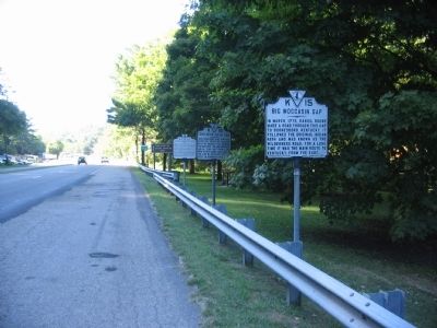
Several Markers at the Gate City Pull-off
SHOWN IN SOURCE-SPECIFIED ORDER
| 1 ► Virginia, Scott County, Gate City — K-16 — Donelson's Indian Line — |
| John Donelson's Line, surveyed after the treaty of Lochaber with the Indians, 1770, crossed the road here. This line separated Indian territory from land open to settlement. Violations of the line by settlers contributed to Dunmore's War, 1774. — — Map (db m35947) HM | |||
| 2 ► Virginia, Wise County, Big Stone Gap — KA-8 — Donelson’s Indian Line — |
| John Donelson’s Line, surveyed after the Treaty of Lochaber with the Indians, 1770, crossed the road here. This line separated Indian territory from land open to settlement. Violations of the line by settlers contributed to Dunmore's War, 1774. — — Map (db m44396) HM | |||