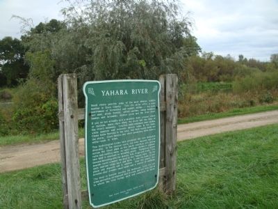
Small rivers provide some of the most diverse wildlife habitat in Dane County. This site alone offers a wide assortment of terrestrial and aquatic niches -- dry sand, wet mud, shady forests, cattail marshes, sedge meadows, bushes and brambles, . . . — — Map (db m36985) HM
When the last glacier melted some 10,000 years ago, the Wisconsin River swelled to more than 100 times its present size and carried billions of tons of fine sand and gravel on its way to the Mississippi River. As the meltwater decreased, it . . . — — Map (db m36984) HM
You are looking north from the Military Ridge toward Mazomanie, which lies in the Wisconsin River Valley. Beyond the Wisconsin River bluffs, on a clear day, the higher Baraboo Hills can be seen 35 miles away. These hills, with some of the oldest . . . — — Map (db m224707) HM
This once clear tributary to the Wisconsin River now carries tons of soil from croplands on ridges and slopes. Silver maples, willows and box elders grow on the soil deposited by erosion. The low peaty meadows on both sides of the creek serve as a . . . — — Map (db m36987) HM
You are looking across a deep preglacial valley. Once glacial meltwaters drained west to the Wisconsin River, depositing sand and gravel brought south to Middleton by the giant ice sheets. Today, winding through this unglaciated outwash plain is . . . — — Map (db m36988) HM
Indian Lake Park lies at the edge of the unglaciated or "driftless" area of southwestern Wisconsin. Here, features of both glaciated and unglaciated land are prominent. The steep slopes of exposed rock indicate that this valley was never completely . . . — — Map (db m36989) HM
Long ago, as a continental glacier retreated northward, it left a jumble of ice blocks at its edge. If it stood still for a while, great quantities of rock and soil built up at the southern end, forming a "moraine." When huge chunks of ice were . . . — — Map (db m36981) HM
To your left is a "drumlin," a long streamlined hill formed by the last glacier about 15,000 years ago. A vast field of 40 drumlins, all pointing southwest, can be seen from high points in this area. Centuries ago, marshes, bogs and lakes formed in . . . — — Map (db m42378) HM