2 entries match your criteria.
Related Historical Markers
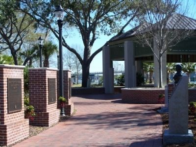
By Mike Stroud, February 2008
Riverfront Park, along the Beaufort River, town of Beaufort
SHOWN IN SOURCE-SPECIFIED ORDER
| 1 ► South Carolina, Beaufort County, Beaufort — Beaufort County, South Carolina — Exploration and Settlement — |
| 1520 - 1711 In 1520 the Spaniard, Francisco Gordillo, sailing from Hispaniola, stopped near Port Royal Sound long enough to call the place Santa Elena. Fourty-two years later, in 1562, Jean Ribaut and his French Huguenots named the . . . — — Map (db m5886) HM | |||
| 2 ► South Carolina, Beaufort County, Beaufort — Beaufort County, South Carolina — Colonial And Revolutionary Period — 1711-1860 — |
| During the Colonial period the Beaufort district grew and prospered. Rice was produced for export on the mainland, indigo in the sea islands, shipbuilding flourished. The Parish System developed as the political basis and Beaufort competed with . . . — — Map (db m5935) HM | |||