St. Michaels in Talbot County, Maryland — The American Northeast (Mid-Atlantic)
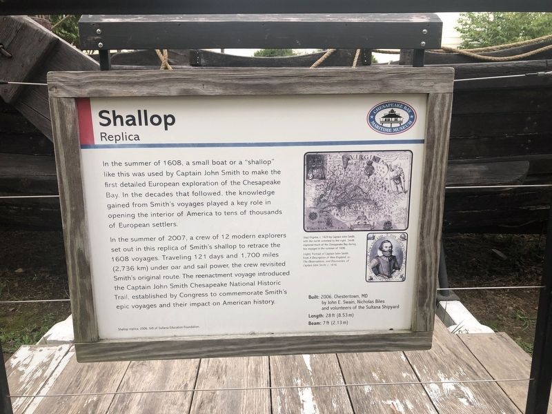
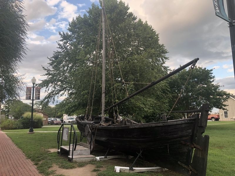
Shallop
Replica
— Chesapeake Bay Maritime Museum —
In the summer of 2007, a crew of 12 modern explorers set out in this replica of Smith's shallop to retrace the 1608 voyages. Traveling 121 days and 1,700 miles (2,736 km) under oar and sail power, the crew revisited Smith's original route. The reenactment voyage introduced the Captain John Smith Chesapeake National Historic Trail, established by Congress to commemorate Smith's epic voyages and their impact on American History.
Built: 2006, Chestertown, MD by John E. Swain, Nicholas Biles and volunteers of the Sultana Shipyard
Length: 28 ft (8.53 m)
Beam: 7 ft (2.13 m)
[Captions:]
(top) Virginia, c. 1624 by Captain John Smith, with the north oriented to the right. Smith explored much of the Chesapeake Bay during two voyages in the summer of 1608.
(right) Portrait of Captain John Smith from A Description of New England, or, The Observations and Discoveries of Captain John Smith, c.1616.
Erected by Chesapeake Bay Maritime Museum.
Topics and series. This historical marker is listed in these topic lists: Colonial Era • Waterways & Vessels. In addition, it is included in the Captain John Smith Chesapeake National Historic Trail series list. A significant historical year for this entry is 1608.
Location. 38° 47.243′ N, 76° 13.281′ W. Marker is in St. Michaels, Maryland, in Talbot County. Marker is on Mill Street just west of Burns Street, on the left when traveling west. Touch for map. Marker is at or near this postal address: 304 Mill Street, Saint Michaels MD 21663, United States of America. Touch for directions.
Other nearby markers. At least 8 other markers are within walking distance of this marker. Navy Point Historic Houses (within shouting distance of this marker); Freedom's Figurehead (within shouting distance of this marker); Oystering on the Chesapeake (within shouting distance of this marker); What's under your feet? (within shouting distance of this marker); Deflecting the Enemy (within shouting distance of this marker); War in the Chesapeake (within shouting distance of this marker); From Shipwrecked Puppies to Iron Dogs (about 300 feet away, measured in a direct line); Lost Overboard (about 300 feet away). Touch for a list and map of all markers in St. Michaels.
Related marker. Click here for another marker that is related to this marker.
Credits. This page was last revised on August 25, 2019. It was originally submitted on August 25, 2019, by Devry Becker Jones of Washington, District of Columbia. This page has been viewed 167 times since then and 25 times this year. Photos: 1, 2. submitted on August 25, 2019, by Devry Becker Jones of Washington, District of Columbia.

