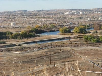
Bakersfield in Kern County, California — The American West (Pacific Coastal)
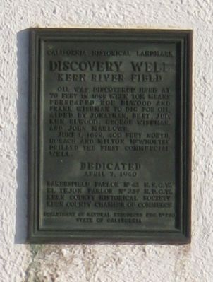
Discovery Well
Kern River Field
— California Historical Landmark —
Erected 1940 by Bakersfield Parlor No.43 N.S.G.W., El Tejon Parlor No.239 N.D.G.W., Kern County Historical Society and Kern County Chamber of Commerce. (Marker Number 290.)
Topics and series. This historical marker is listed in these topic lists: Industry & Commerce • Natural Resources. In addition, it is included in the California Historical Landmarks, and the Native Sons/Daughters of the Golden West series lists. A significant historical month for this entry is June 1888.
Location. 35° 25.692′ N, 118° 57.291′ W. Marker is in Bakersfield, California, in Kern County. Marker is on Round Mountain Road, 0.8 miles east of China Grade Loop, on the right when traveling east. Touch for map. Marker is at or near this postal address: 5736 - 5798 Round Mountain Road, Bakersfield CA 93308, United States of America. Touch for directions.
Other nearby markers. At least 8 other markers are within 5 miles of this marker, measured as the crow flies. Ethel's Old Corral (approx. 0.7 miles away); Gordons Ferry (approx. 0.8 miles away); Kern County Veterans (approx. 3 miles away); Home of Elisha Stevens (approx. 3.6 miles away); Oildale Waits Drilling Company (approx. 3.7 miles away); Oildale Mural (approx. 4.1 miles away); Jewett Family (approx. 4.3 miles away); Beale Memorial Clock Tower (approx. 4.4 miles away). Touch for a list and map of all markers in Bakersfield.
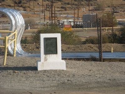
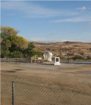
More about this marker. Marker is located approximately 100 feet south of the fence along Round Mountain Road. It is visible from the road. Appointment must be made to view the well and marker at its site.
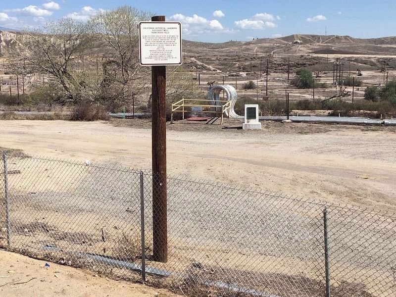
Update: Instead of appointments to visit the marker, a sign was installed in 2019 next to the fence with the same text as the marker.
Regarding Discovery Well.
After oil was discovered at this site, the well was dug by hand.
This was designated California Historical Landmark No.290 on June 27, 1938.
Also see . . .
1. Donald Laird Website of His Visits to California Historical Landmarks. A 1997 photo of the well is displayed. (Submitted on December 8, 2009.)
2. A Waymarking Post Displaying a More Recent Photo of the Well. (Submitted on December 8, 2009.)
Additional commentary.
1. Ten Historic Events That Have Shaped the History of Bakersfield
An article By Jeff Nickell published on Bakersfieldlife.com reports that one of the 10 Historic Events that have shaped the history of Bakersfield is Kern River Oil Discovery:
The Discovery Well on the banks of the Kern River brought an oil boom to what became the Kern River Oil Field. Within a very short time, more than two-hundred companies were created to try their luck at drilling for oil. As noted oil historian Bill Rintoul wrote in his 1990 publication Drilling Through Time, “the names of the companies reflected everything from high hopes to pride in regional areas…including Prosperity, the Pennsylvanian, the Hawkeye State, the Sovereign, American Eagle, and Uncle Sam just to name a few.”
"The main use of crude oil from the Kern River Field’s was as fuel for locomotives. People were so enamored with the black gold that was flowing and the forest of wooden derricks, that Southern Pacific Railroad began promoting sightseeing trips from San Francisco to visit the Kern River Field. The cost of a round-trip excursion was $10.60."
— Submitted December 8, 2009, by Syd Whittle of Mesa, Arizona.
Credits. This page was last revised on March 6, 2022. It was originally submitted on December 8, 2009, by Syd Whittle of Mesa, Arizona. This page has been viewed 4,546 times since then and 87 times this year. Last updated on March 7, 2021, by Craig Baker of Sylmar, California. Photos: 1, 2. submitted on December 8, 2009, by Syd Whittle of Mesa, Arizona. 3. submitted on March 10, 2021, by Craig Baker of Sylmar, California. 4, 5. submitted on December 8, 2009, by Syd Whittle of Mesa, Arizona. • J. Makali Bruton was the editor who published this page.
