Philippi in Barbour County, West Virginia — The American South (Appalachia)
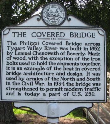
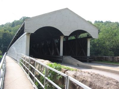
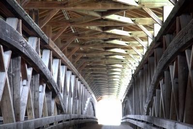
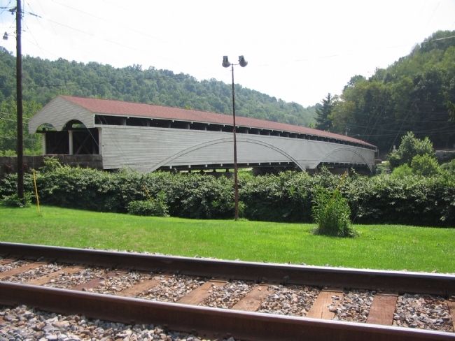
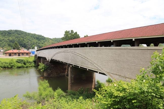
The Covered Bridge
Erected 1963 by West Virginia Historic Commission.
Topics and series. This historical marker is listed in these topic lists: Bridges & Viaducts • War, US Civil. In addition, it is included in the Covered Bridges, and the West Virginia Archives and History series lists. A significant historical year for this entry is 1852.
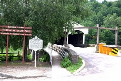
Location. 39° 9.181′ N, 80° 2.557′ W. Marker is in Philippi, West Virginia, in Barbour County. Marker is on Main Street (U.S. 250), on the right when traveling east. Located at the abutment of the bridge, next to the Vietnam Veterans Memorial Park. Touch for map. Marker is in this post office area: Philippi WV 26416, United States of America. Touch for directions.
Other nearby markers. At least 8 other markers are within walking distance of this marker. "Ruinous Effect of War" (a few steps from this marker); Barbour County Vietnam Era Veterans Memorial (within shouting distance of this marker); Philippi Mummies (within shouting distance of this marker); In Memory of the Sago Miners (about 300 feet away, measured in a direct line); The Philippi Covered Bridge (about 400 feet away); First Battle of a Long War (about 400 feet away); Confederate Regimental Flag (about 400 feet away); Philippi (about 400 feet away). Touch for a list and map of all markers in Philippi.
Related marker. Click here for another marker that is related to this marker. It is about another West Virginia covered bridge built by Lemuel Chenoweth. This one is further north just off US 250 in Barrackville.
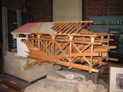
Also see . . . West Virginia Department of Transportation Entry. “According to legend, Lemuel Chenoweth had convinced members of the Virginia Legislature to award him the contract to build the Tygart Valley River span by placing a wooden model of his masterpiece between two chairs and standing on it.” (Submitted on June 23, 2014.)
Credits. This page was last revised on December 29, 2023. It was originally submitted on July 27, 2010, by Craig Swain of Leesburg, Virginia. This page has been viewed 1,265 times since then and 38 times this year. Photos: 1. submitted on July 27, 2010, by Craig Swain of Leesburg, Virginia. 2. submitted on June 23, 2014, by J. J. Prats of Powell, Ohio. 3. submitted on July 27, 2010, by Craig Swain of Leesburg, Virginia. 4. submitted on June 23, 2014, by J. J. Prats of Powell, Ohio. 5. submitted on July 27, 2010, by Craig Swain of Leesburg, Virginia. 6. submitted on June 23, 2014, by J. J. Prats of Powell, Ohio. 7. submitted on July 27, 2010, by Craig Swain of Leesburg, Virginia.
