Near Terrebonne in Jefferson County, Oregon — The American West (Northwest)
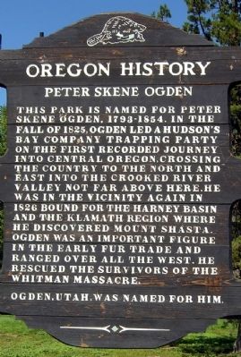
Peter Skene Ogden
Oregon History
Ogden, Utah, was named for him.
Erected by State of Oregon.
Topics and series. This historical marker is listed in these topic lists: Exploration • Industry & Commerce. In addition, it is included in the Oregon Beaver Boards series list. A significant historical year for this entry is 1825.
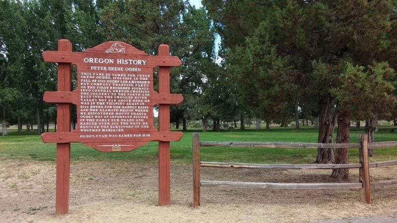
Location. 44° 23.431′ N, 121° 11.589′ W. Marker is near Terrebonne, Oregon, in Jefferson County. Marker can be reached from U.S. 97, 0.4 miles south of SW Culver Highway, on the left when traveling north. Marker is located on the north side of the parking lot of the Peter Skene Ogden State Scenic Viewpoint. Touch for map. Marker is in this post office area: Terrebonne OR 97760, United States of America. Touch for directions.
Other nearby markers. At least 7 other markers are within 14 miles of this marker, measured as the crow flies. The Crooked River (High) Bridge (about 500 feet away, measured in a direct line); Peter Skene Ogden Park (about 600 feet away); Oregon Scenic Highways (about 600 feet away); The Oregon Trunk Railroad Bridge (about 600 feet away); A Bridge for the New Millenium (about 600 feet away); Colonel Rex T. Barber Memorial (about 600 feet away); Metolius Depot (approx. 13.6 miles away).
Also see . . . Peter Skene Ogden Biography. From the Oregon Historical Society website. (Submitted on August 19, 2013, by Duane Hall of Abilene, Texas.)
Credits. This page was last revised on February 11, 2018. It was originally submitted on August 19, 2013, by Duane Hall of Abilene, Texas. This page has been viewed 860 times since then and 32 times this year. Photos: 1, 2. submitted on August 19, 2013, by Duane Hall of Abilene, Texas. 3. submitted on January 27, 2018, by Douglass Halvorsen of Klamath Falls, Oregon.


