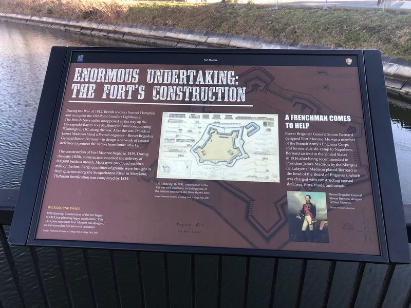
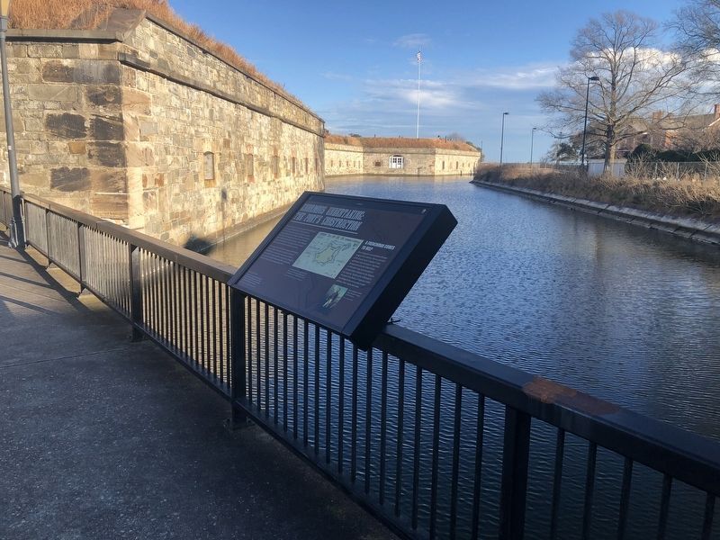
Enormous Undertaking: The Fort's Construction
Fort Monroe

During the War of 1812, British soldiers burned Hampton and occupied the Old Point Comfort Lighthouse. The British Navy sailed unopposed all the way up the Chesapeake Bay to Fort McHenry in Baltimore, burning Washington, DC, along the way. After the war, President James Madison hired a French engineer—Brevet Brigadier General Simon Bernard—to design a network of coastal defenses to protect the nation from future attacks.
The construction of Fort Monroe began in 1819. During the early 1820s, construction required the delivery of 800,000 bricks a month. Most were produced within a mile of the fort. Large quantities of granite were brought in from quarries along the Susquehanna River in Maryland. The main fortification was completed by 1834.
A Frenchman Comes To Help
Brevet Brigadier General Simon Bernard designed Fort Monroe. He was a member of the French Army's Engineer Corps and former aide-de-camp to Napoleon. Bernard arrived in the United States in 1816 after being recommended to President James Madison by the Marquis de Lafayette. Madison placed Bernard at the head of the Board of Engineers, which was charged with constructing coastal defenses, forts, roads, and canals.
Erected by Fort Monroe Authority; National Park Service, U.S. Department of the
Topics and series. This historical marker is listed in these topic lists: Forts and Castles • War of 1812 • Waterways & Vessels. In addition, it is included in the Lighthouses series list. A significant historical year for this entry is 1812.
Location. 37° 0.141′ N, 76° 18.634′ W. Marker is in Hampton, Virginia. It is in Fort Monroe. Marker is on Ingalls Road just north of Fenwick Road, on the left when traveling south. Touch for map. Marker is at or near this postal address: 32 Ingalls Rd, Fort Monroe VA 23651, United States of America. Touch for directions.
Other nearby markers. At least 8 other markers are within walking distance of this marker. Why A Moat? (here, next to this marker); Fort Monroe's Arc Of Freedom (a few steps from this marker); How Big Is Fort Monroe? (a few steps from this marker); Who Built Fort Monroe? (a few steps from this marker); A Bay Worth Preserving (within shouting distance of this marker); Why Was The Fort Built Here? (within shouting distance of this marker); Wisser Hall: From Books To War Games (within shouting distance of this marker); Digging Up The Past (within shouting distance of this marker). Touch for a list and map of all markers in Hampton.

Credits. This page was last revised on February 1, 2023. It was originally submitted on February 8, 2021, by Devry Becker Jones of Washington, District of Columbia. This page has been viewed 159 times since then and 13 times this year. Photos: 1, 2. submitted on February 8, 2021, by Devry Becker Jones of Washington, District of Columbia.