3 entries match your criteria.
Related Historical Markers
To better understand the relationship, study each marker in the order shown.
By Bill Kirchner, May 17, 2016
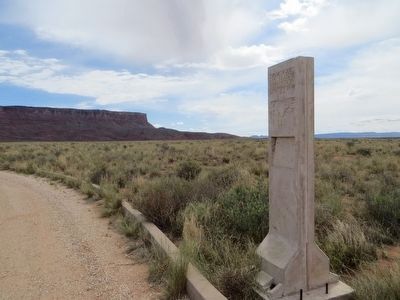
Dominguez y Escalante Expedition Marker
SHOWN IN SOURCE-SPECIFIED ORDER
| | Text from: Historical Markers with The Arizona Department of Transportation right of way. Prepared by: Roadside Development Section April 1, 1997
Fatigued by a thirty mile ride, the padres picked their way down the rocky north slope . . . — — Map (db m39917) HM |
| | In desperate search for a crossing of the Colorado River before the wild storms of winter might further weaken their starving bodies, Fathers Dominguez and Escalante led their expedition past this point on October 26, 1776.
Five days were spent . . . — — Map (db m94896) HM |
| | Within sight of this place the Franciscan priests Dominguez and Escalante and their ten companions experienced two of the most difficult challenges among many along the 1,800 miles of their epic journey from the Spanish presidio at Santa Fe, New . . . — — Map (db m40324) HM |
Apr. 24, 2024